What is recorded here
Caherateige holds a broken stone ring where field walls now cut across the ancient boundary. The fort is no longer a complete shelter, but its circular shape still marks the place where people stood, watched, and lived before the land was divided into farmland. What was built has been partly forgotten, yet the stones remain visible in grass and rock, waiting to be read again.
In rock outcrop and grassland. Poorly preserved circular cashel (diam. 52m) defined by a drystone wall. Field walls cut across the monument from ENE to W and from SE to SW, and another overlies the enclosing element from NW through E to SE. (McCaffrey 1952, 265, no. 13a)
Compiled by: Galway Archaeological Survey, UCG
Date of upload: 9 January 2017
The monument record does not grant public access. Check the route and ask the landowner before entering private land.
- What survives
- Recorded monument
Places near here
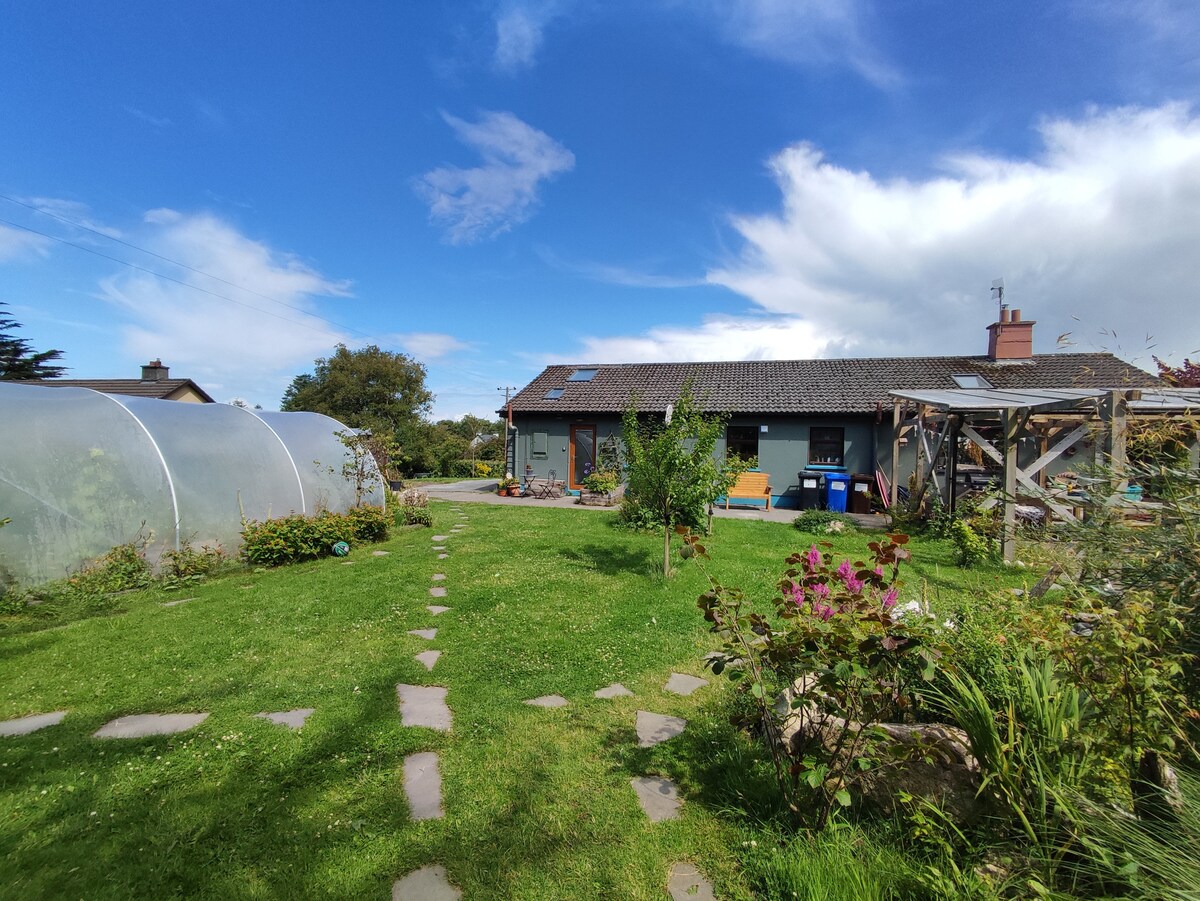 Enclosure in CaherateigeEnclosure · 860 yd
 CaveMan-made underground passage · 1309 yd
 Ardrahan Churchchurch/chapel · 1710 yd
 Castle (in ruins)Castle, Anglo-Norman masonry castle · 1734 yd
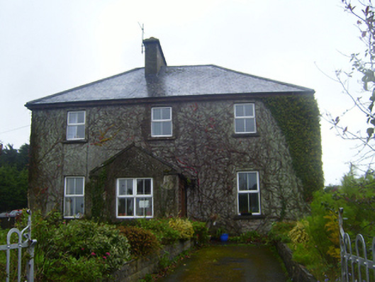 Ferndaleschool · 1.0 mi
 Drumharsna CastleHeritage attraction · 1.4 mi
 Drumharsna Castle (in ruins)Castle, tower house · 1.5 mi
 HawthornHawthorn · 3.5 mi
 European ashEuropean ash · 3.5 mi
 Drumacoo Monastic SiteHeritage attraction · 4.0 mi
 Mulroney's IslandIslet · 4.9 mi
 MweenisharanIslet · 5.3 mi