What is recorded here
Fairy fort / stone ringfort in Bunnacranagh is a fairy fort or stone ringfort in Bunnacranagh, County Sligo, Ireland. The oval cashel sits on a west-facing slope and rises above the surrounding ground. Drystone wall foundations mark the interior edge, while a three-metre gap breaks the eastern boundary. The centre remains level beneath the gently descending inner slope.
On a W-facing slope. An oval area (37.5m N-S; 31.6m E-W) raised 0.8-1.7m above external ground level. The edge of the interior is defined by foundations of a drystone wall (max. Wth 1.8m; int. H 0.2m). There is a gap (Wth 3m) in the wall at E. The interior slopes gently down from the enclosing wall towards the level centre.
The above description is derived from the published 'Archaeological Inventory of County Sligo' compiled by Ursula Egan, Elizabeth Byrne, Mary Sleeman with Sheila Ronan and Connie Murphy (Dublin Stationery Office, 2005).
Date of upload: 18 January 2008
The monument record does not grant public access. Check the route and ask the landowner before entering private land.
- What survives
- Recorded monument
Places near here
 LissaneFairy fort / earthen ringfort · 778 yd
 Man-made underground passage in BunnacranaghMan-made underground passage · 1211 yd
 Catholic Church of the Immaculate Conceptionchurch/chapel · 1408 yd
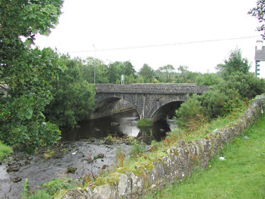 bridgebridge · 1492 yd
 Castle (Site of)Castle, unclassified · 4.0 mi
 Old Cave Burial GroundArchaeological place · 4.1 mi
 Ballyara Castle (in Ruins)Castle, unclassified · 4.2 mi
 Procession Of The SoulsMemorial · 7.2 mi
 Brabazon WoodsForest · 7.4 mi
 HawthornHawthorn · 7.8 mi
 Bockagh HillMountain / peak · 8.3 mi
 Lough Talt TrailVisitor information · 8.6 mi