What is recorded here
Not a fairy fort at all but a human cashel, its wall collapsed and buried under field rubble, yet still holding a D-shaped room inside the circle. Bohercuill gave up most of its shape to pasture and progress, but the foundation lines remain visible in the grass, proving the site was built, lived in, and forgotten rather than invented.
In level pastureland. Very poorly preserved circular cashel (D 47.5m) defined by a collapsed drystone wall. As a result of land improvement in the area, a large quantity of field- clearance rubble has been piled against and on top of the enclosing element. Within the interior, a number of foundation lines are visible, including a D-shaped enclosure. This is defined by a low stony grass-covered bank which abuts the enclosing wall at NE.
The above description is derived from the published 'Archaeological Inventory of County Galway Vol. II - North Galway'. Compiled by Olive Alcock, Kathy de hÓra and Paul Gosling (Dublin: Stationery Office, 1999).
Date of upload: 05 August 2010
The monument record does not grant public access. Check the route and ask the landowner before entering private land.
- What survives
- Recorded monument
Places near here
 CaherFairy fort / stone ringfort · 970 yd
 Gortnavaddoge FortArchaeological place · 1383 yd
 Donaghpatrick Church in ruinsChurch · 1.1 mi
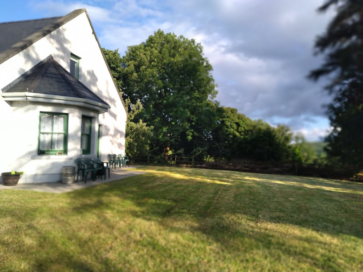 Country house in Barnaboy (headford By.)Country house · 1.2 mi
 Kilcoona Round TowerHeritage attraction · 1.7 mi
 KnockmaaWood · 2.5 mi
 Castle Hacket (in ruins)Castle, hall-house · 2.6 mi
 Cashlaun Feecul in ruinsCastle, unclassified · 2.9 mi
 Ballinduff BayBay · 4.1 mi
 Ross Errilly FriaryHeritage attraction · 4.6 mi
 Walsh's IslandIslet · 5.0 mi
 Pesooge PlantationForest · 5.1 mi