What is recorded here
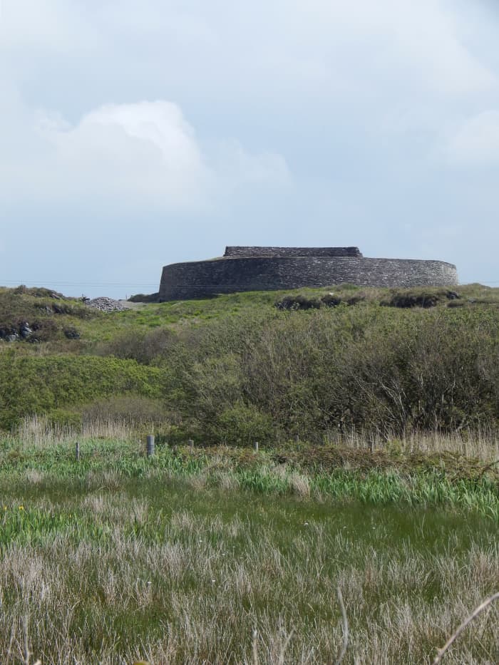
Fairy fort in Bocks Lower is a broken stone ring on a western slope, wide enough to swallow a house and tall enough to hide a person. Its grassy floor marks a destroyed underground passage, while a narrow western gap still invites entry. The fairies may have built it, but human hands more likely shaped the stones and dug the hole before forgetting the name.
Situated at the outer edge of a rock outcrop terrace on a W-facing slope. This is a grass-covered but uneven circular area (diam. 43m N-S; 41.6m ENE-WSW) with some rock outcrop defined by a stone wall or stone-faced bank (Wth 2-3.1m; int. H 1-1.7m; ext. H 1.3-1.4m) that has a drystone wall on top of it NW-SE and SW-W, and the drystone wall replaces the original permeter WNW-NW. There is an entrance (Wth 1.6m) at W, which is probably original. A T-shaped depression, consisting of a narrow channel (dims 10.3m N-S; 2m E-W; max. D 0.7m) with a short central spur (dims 2.8m E-W; 3m N-S; max. D 0.8m) extending E is SW of the centre and is probably a destroyed Man-made underground passage.
The above description is derived from the published 'Archaeological Inventory of County Monaghan' (Dublin: Stationery Office, 1986). In certain instances the entries have been revised and updated in the light of recent research.
Revised by: Michael Moore
Date of revision: 30 January 2018
The monument record does not grant public access. Check the route and ask the landowner before entering private land.
- What survives
- Recorded monument
Places near here
 IndicatedCrannog · 1105 yd
 Enclosure in Beagh (cremorne By.)Enclosure · 1156 yd
 Tally WoodWood · 1.1 mi
 mill (water)mill (water) · 1.2 mi
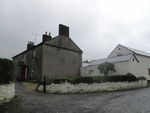 Farm Hillfarmyard complex · 1.2 mi
 Rock IslandIslet · 1.9 mi
 Gully IslandIslet · 1.9 mi
 TobernagalliaghSpring · 3.3 mi
 Fincarn HillMountain / peak · 3.5 mi
 RaferaghMountain / peak · 3.9 mi
 Sillan LakeshoreWood · 4.7 mi
 Mannan Castle (in ruins)Castle, Anglo-Norman masonry castle · 4.7 mi
Other information
Photo: Credit not shown in the picture search · Rights wording not checked; contact us if this picture should be removed