What is recorded here
Fairy fort in Bearnafunshin: circular stone ring, 26m wide, on a hidden pasture ridge in County Clare, mapped as an enclosure since 1840. Its broken wall, shallow entrance and small inner cairn suggest people lived, marked or remembered there before field walls swallowed the shape. The name “fairy” may be mischief, awe or dismissal, but the stones still describe a room built for human hands.
On the W and SW-facing slope of an irregular ridge in pasture with very limited views. Hachured as a circular enclosure on the 1840 and 1920 OS 6-inch maps. A circular overgrown area (int. diam. 26m NW-SE) defined by an overgrown stone spread (Wth 4.5-6.5m; int. 0.6-1m; ext. H 1-1.2m) with some external facing (H 1.2m) at NW. There is a gap (Wth 1.2m) which is not original at ENE, while an entrance (Wth 2m) at SW may be original. Much of the perimeter is overlain by a drystone field wall. The interior is generally level and there is a small cairn (diam. 4m ; H 0.6m) 10m inside the perimeter at E.
Compiled by: Michael Moore and Mary Tunney
Date of upload: 17 November 2025
The monument record does not grant public access. Check the route and ask the landowner before entering private land.
- What survives
- Recorded monument
Places near here
 Enclosure in BallyoganEnclosure · 512 yd
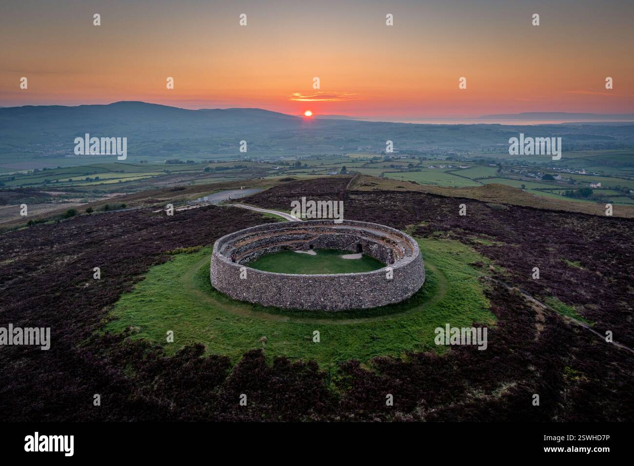 Cahereiny FortFairy fort / stone ringfort · 1329 yd
 Kilraghtis ChurchChurch · 1531 yd
 Abbey (in ruins)Religious house, Augustinian canons · 1.2 mi
 O'Brien's CastleCastle · 1.6 mi
 Castle (in ruins)Castle, unclassified · 1.9 mi
 Derrymore WoodWood · 2.3 mi
 Kilcatherine GraveyardWood · 2.3 mi
 Mulkere MemorialMemorial · 2.7 mi
 Battle of TullyodeaBattlefield · 4.5 mi
 Ennis AbbeyMuseum · 4.7 mi
 Clare MuseumMuseum · 4.8 mi