What is recorded here
Fairy fort / stone ringfort in Banagher stands as a grass-covered stone spread twenty-seven metres across, tucked towards the bottom of a S-facing slope above a small E-W stream. The stones rise one metre at the SSW but flatten to fifteen centimetres at the E, hiding the original entrance beneath marshy scrub. People may have lived inside this circle before the grass swallowed the boundary, yet the lost entrance still resists identification. The fort keeps its shape while withholding its history, waiting for someone to notice the line where the stones stop.
Located towards the bottom of a S-facing slope and overlooking a small E-W stream c. 100m distant, and in an area of marshy scrub. This is an overgrown circular area (int. diam. 27m) defined by a grass-covered stone spread (max. Wth 5m at SSW; H 0.15m at E to1m at SSW). The original entrance is not identified.
The above description is derived from 'The Archaeological Inventory of County Leitrim' compiled by Michael J. Moore (Dublin: Stationery Office, 2003). In certain instances the entries have been revised and updated in the light of recent research.
Date of upload: 23 September 2008
The monument record does not grant public access. Check the route and ask the landowner before entering private land.
- What survives
- Recorded monument
Places near here
 IndicatedEnclosure · 254 yd
 Enclosure in CarrickanurrooEnclosure · 1023 yd
 CastleCastle, tower house · 1550 yd
 Parke's CastleHeritage attraction · 1.1 mi
 Cullentra ForestForest · 1.9 mi
 Green IslandIslet · 2.0 mi
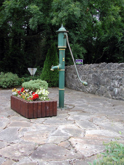 water pumpwater pump · 2.2 mi
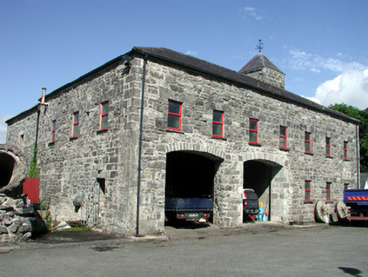 mill (water)mill (water) · 2.2 mi
 Doonbran Isd.Bawn · 2.2 mi
 Trawane BayBay · 2.2 mi
 InnisfreeIslet · 2.3 mi
 Toberconnell BayBay · 2.7 mi