What is recorded here
Half a ring of earth and broken limestone still stands beside a dead bothan in Ballyvoe, wide enough for a small cashel but so worn the boundary nearly disappears into the slope. Westropp saw large blocks and a ruined cottage in 1905, yet even that much has thinned to a low ridge and scattered uprights. The land itself seems to have eaten the fort, leaving only a subtle rise and the memory of a wall.
Beside a disused bothán in a field of karstic limestone pavement and scrub within a relict field system (CL009-004001-) and a larger multiperiod field system (CL008-109001-). This may be the fort described by Westropp (1905, 357) as ‘Another fort of large blocks, but much broken’, which adjoined a ‘ruined cottage’. A possible cashel (int. diam. 22m N-S), subcircular in plan, is defined at E by an earth and stone bank (Wth 3m; int. H 0.5m; ext. H 0.85) which decreases in height toward N (ext. H 0.5m) and elsewhere is difficult to trace due to the natural slope of the ground. Intermittent limestone uprights, concentrated at N and S, may be the remains of an outer revetment. The raised interior (av. H 1m over exterior) is flat.
Compiled by: Olive Alcock and Conn Herriott
Date of upload: 18 August 2022
The monument record does not grant public access. Check the route and ask the landowner before entering private land.
- What survives
- Recorded monument
Places near here
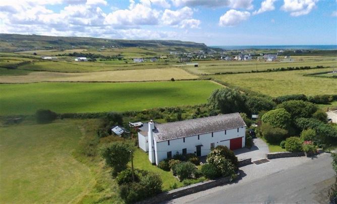 Enclosure in Ballyvoe (corcomroe By.)Enclosure · 163 yd
 Enclosure in Glasha BegEnclosure · 244 yd
 Catholic Church of the Holy Rosarychurch/chapel · 1215 yd
 CastleCastle, unclassified · 1256 yd
 Aran View SwalletCave · 1268 yd
 Roadford Bridgebridge · 1.1 mi
 St. Catherine's OneCave · 1.3 mi
 Doonmacfelim Castle (in Ruins)Castle, tower house · 1.3 mi
 Doolin Cave Visitor CentreHeritage attraction · 1.4 mi
 Doolin PointHeadland · 1.6 mi
 Doolin FerriesHeritage attraction · 1.7 mi
 Wild Atlantic Way: Doolin PierVisitor information · 1.7 mi