What is recorded here
Moneymore East farm roads still cut through the old ring, but the western cashel wall stands nine decimeters high, watching the pasture. Inside the broken circle, sheep walk over foundations that no longer need naming. The field walls laid later across its edge show how quickly human life covers what it forgets.
On a rise in pastureland. Described by Athy (1914, 135) as a ‘much ravelled’ circular rath (diam. c. 30m), the ‘rampart’ of which was ‘stone faced inside’. The ‘rampart and ditch’ were ‘almost almost obliterated’ on the ‘E side’. All that survives is a section of walling (Wth 3.4m; H 0.9m) at W, which is partially obscured by field-clearance rubble, suggesting that this is a cashel. A later field wall overlies the line of the cashel wall at N and another field wall running NNW-SSE on its E side probably cut through the NE section of the enclosing element (McCaffrey 1952, 135 no. 45)
Compiled by: Galway Archaeological Survey, UCG
Date of upload: 26 February 2018
The monument record does not grant public access. Check the route and ask the landowner before entering private land.
- What survives
- Recorded monument
Places near here
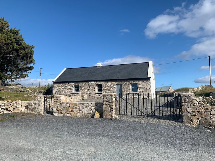 Hut site in BallynageehaHut site · 327 yd
 RinnFairy fort / earthen ringfort · 715 yd
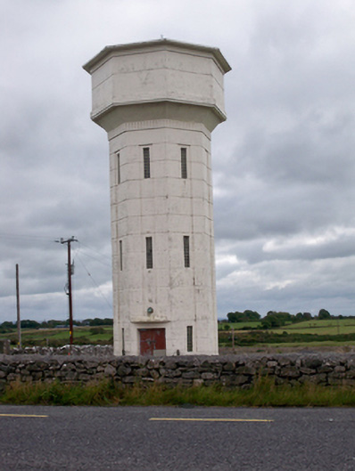 water towerwater tower · 1637 yd
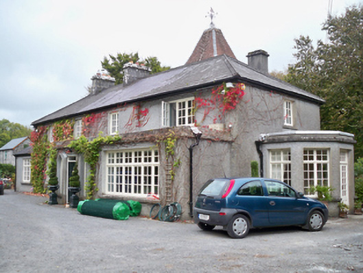 Rockhill Househouse · 1.1 mi
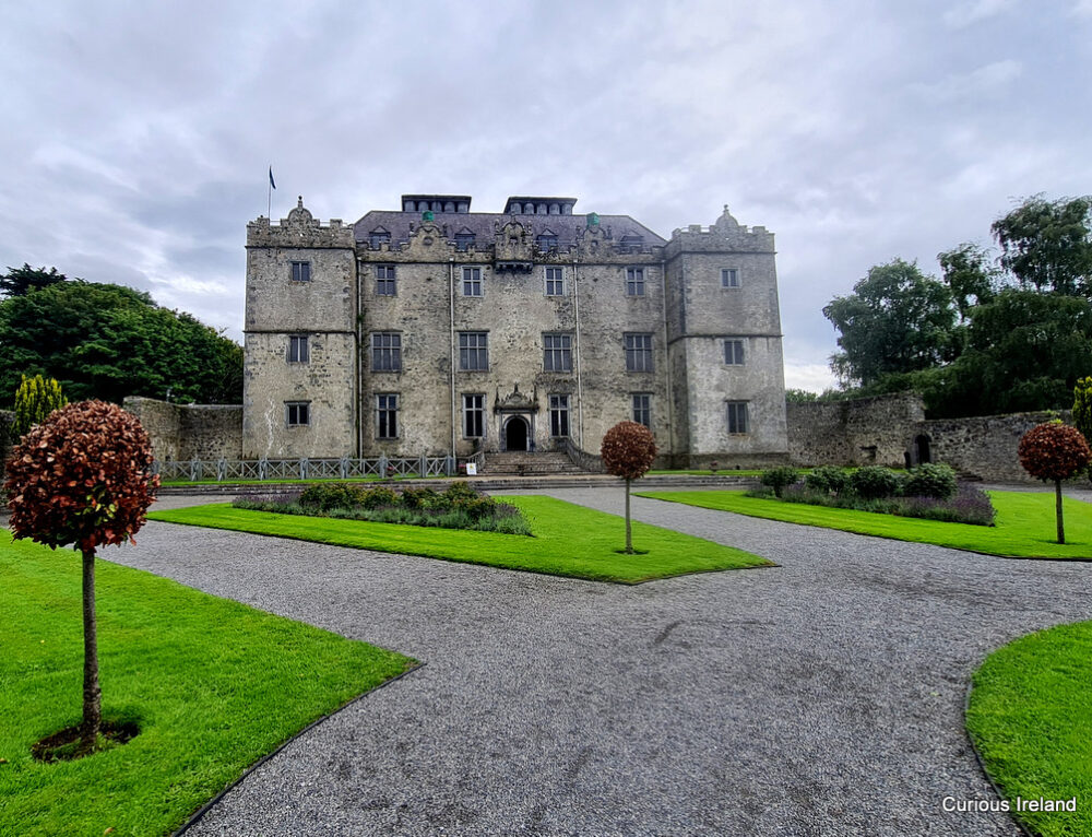 Moneyduff Castle (Site of)Castle, unclassified · 1.6 mi
 Bawn in Cregganna MoreBawn · 1.9 mi
 Loughaun WoodWood · 2.2 mi
 Kilcornan WoodWood · 2.5 mi
 Leadmine HillMountain / peak · 4.0 mi
 Drumacoo Monastic SiteHeritage attraction · 4.6 mi
 MweenisharanIslet · 4.9 mi
 Rabbit IslandIslet · 5.0 mi