What is recorded here
Fairy fort in Ballylin West is a 35m stone ringfort on a Galway pasture rise, its low bank partly swallowed by a vegetable garden and grass. The site may preserve a cashel rather than an earthen fort, since exposed rock and stone appeared beneath the sod in 2001. An underground passage lies about 25m to the NE, suggesting the rise once served more than pasture or pride.
On a prominent rise in gently undulating pastureland. When visited in 1992 this poorly preserved circular ringfort (diam. 35m) was defined by a very low denuded bank from NE to S to NNW. From NNW to NE a drystone-walled vegetable garden had encroached upon the N sector of the interior. During a revisit in 2001 a small area denuded of sod cover in the W sector suggested that the enclosing element was made up of rock and stone, indicating that this may be the remains of a grassed-over cashel. There is a Man-made underground passage (GA104-042----) c. 25m to the NE. (McCaffrey 1952, 214, no. 93)
Compiled by: Galway Archaeological Survey, UCG
Date of upload: 18 January 2017
The monument record does not grant public access. Check the route and ask the landowner before entering private land.
- What survives
- Recorded monument
Places near here
 Enclosure in BallynamanninEnclosure · 547 yd
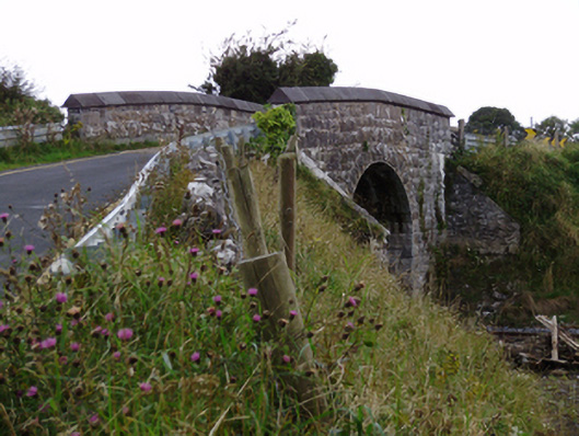 bridgebridge · 622 yd
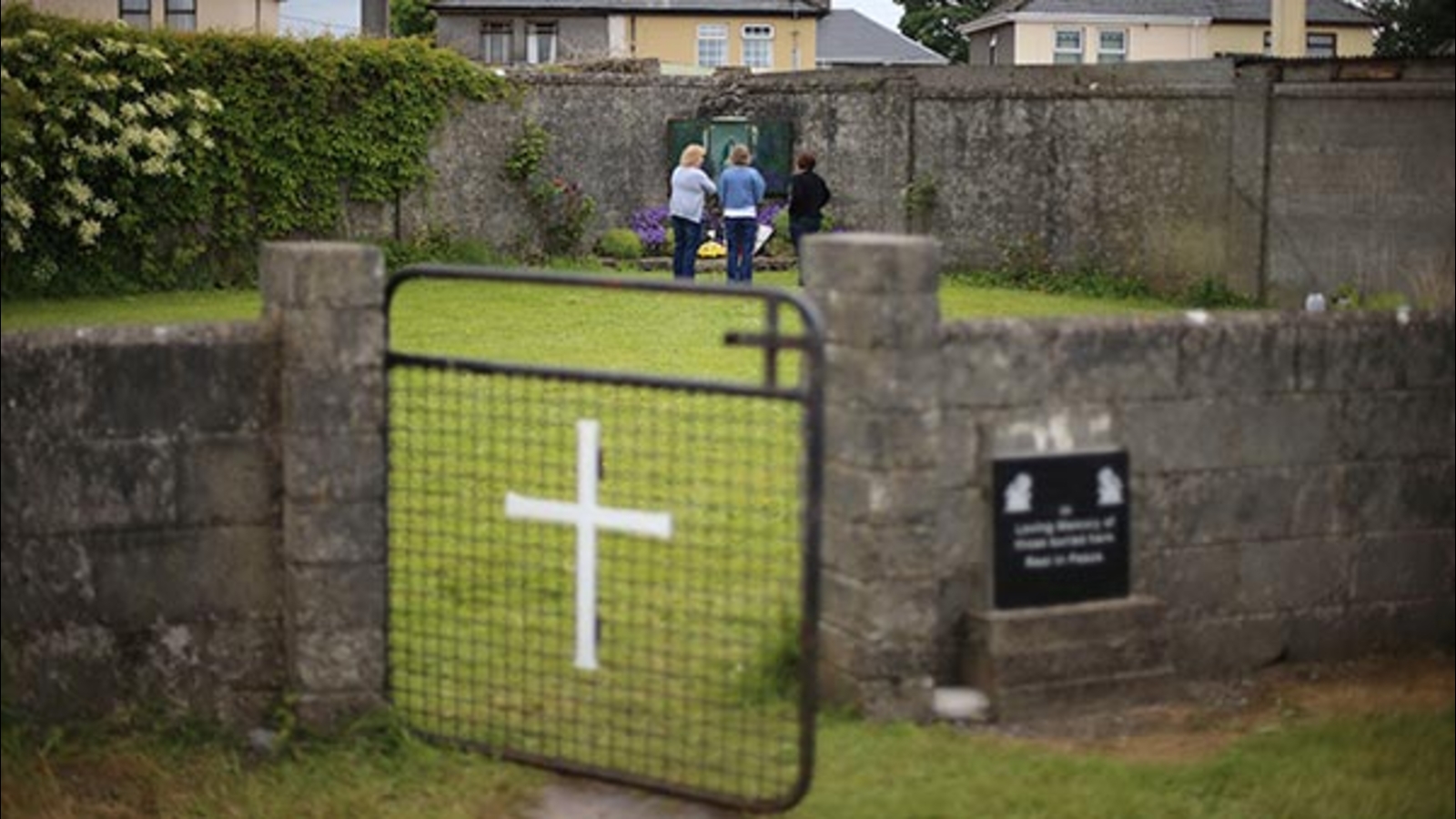 Cist GraveHouse, indeterminate date · 637 yd
 Ardnamoran ChurchChurch · 1341 yd
 CarnanthomasCastle, unclassified · 1.3 mi
 Cloghroak Castle (in ruins)Castle, tower house · 1.5 mi
 Moyard WoodWood · 4.8 mi
 Kilcornan WoodWood · 5.4 mi
 Drumharsna CastleHeritage attraction · 5.6 mi
 Scalpeen RockNamed rock · 7.0 mi
 MweenisharanIslet · 8.4 mi
 Mulroney's IslandIslet · 9.1 mi