What is recorded here
Thirty-six metres of drystone circle still stands on the steep rise above the Streamstown River, though a road now cuts cleanly through what once enclosed. The wall survives best at the southwest, while field stones bury the rest, suggesting the fort gave way to farming long before anyone measured it. An underground passage remains nearby, waiting for the kind of darkness that makes people imagine fairies instead of admitting they simply forgot who dug it.
On the summit of a steep rise overlooking the Streamstown River to S. Poorly preserved circular cashel (diam c. 36m) defined by a drystone wall best preserved at SW. Elsewhere the enclosing element is overlain by field walls, and a road cuts through the monument from NNW to ESE. A Man-made underground passage (GA123-017001-) is associated.
Compiled by: Galway Archaeological Survey, UCG
Date of upload: 25 November 2016
The monument record does not grant public access. Check the route and ask the landowner before entering private land.
- What survives
- Recorded monument
Places near here
 Man-made underground passage in Ballylee (kiltartan By.)Man-made underground passage · 15 yd
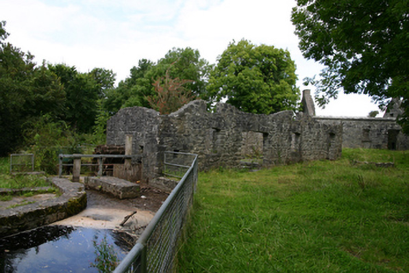 mill (water)mill (water) · 183 yd
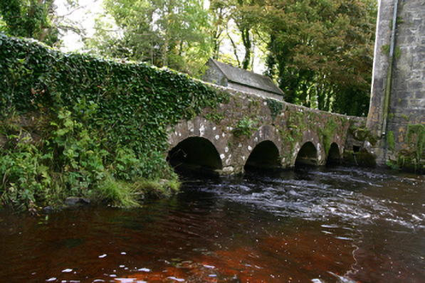 bridgebridge · 394 yd
 Ballylee CastleCastle, tower house · 396 yd
 Enclosure in NewhallEnclosure · 1092 yd
 European ashEuropean ash · 1.3 mi
 HawthornHawthorn · 1.3 mi
 Kiltartan Castle (in ruins)Castle, Anglo-Norman masonry castle · 1.7 mi
 Drumharsna CastleHeritage attraction · 3.8 mi
 Holly IslandIslet · 4.7 mi
 Castle IslandIsland · 4.8 mi
 Kilmacduagh Monastic SiteVisitor information · 6.1 mi