What is recorded here
Fairy forts are human places misnamed, and this is no exception. On the northwest slopes of Knockaunsmountain, a stone wall still marks a small rectangular enclosure, perhaps twenty-eight metres long and twenty-four wide, set inside a wider field system. People may have lived there, bred animals there, or simply kept other people out. The fairies arrived later, doing what fairies do everywhere: claiming what humans forgot.
On the NW slopes of Knockaunsmountain within a large field system (CL004-016001-). A possible subrectangular cashel (c. 28m NE-SW; c. 24m NW-SE) defined by a stone wall visible at ITM 515040, 706339 on Ordnance Survey ortho photography (2013-2018).
Compiled by: Mary Tunney
Date of upload: 24 May 2021
The monument record does not grant public access. Check the route and ask the landowner before entering private land.
- What survives
- Recorded monument
Places near here
 IndicatedFairy fort / stone ringfort · 468 yd
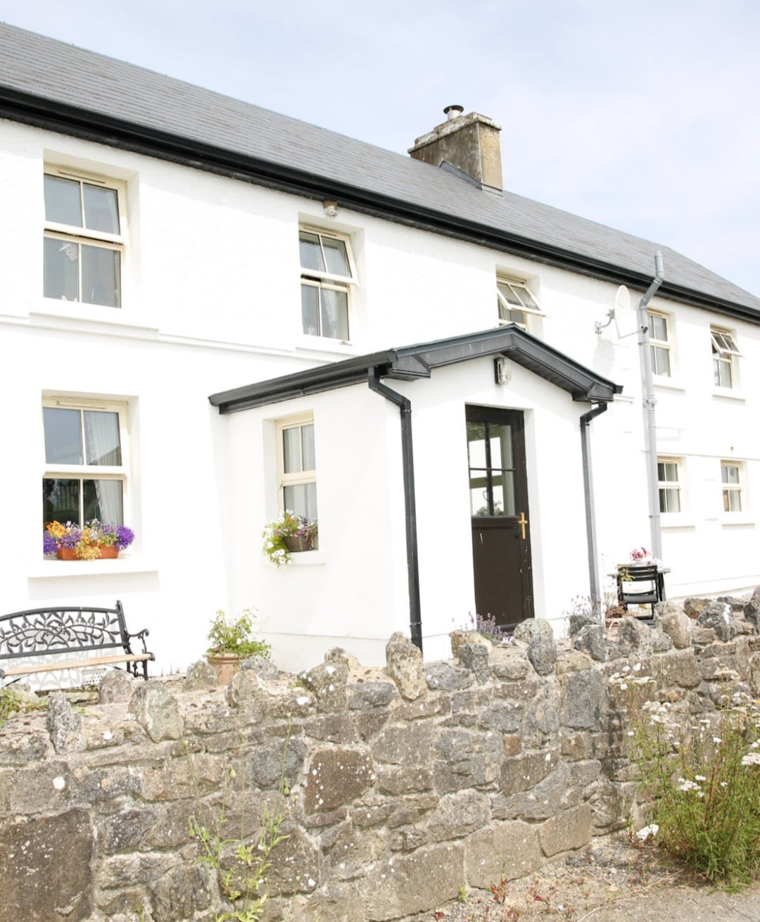 Enclosure in Formoyle WestEnclosure · 826 yd
 Faunarooska Castle (in ruins)Castle, tower house · 1425 yd
 Balliny CaherRuins · 1689 yd
 Slieve ElvaMountain / peak · 1.2 mi
 FaunarooskaCave · 1.2 mi
 PollbailinyCave · 1.4 mi
 Formoyle R.C. ChapelChurch · 1.4 mi
 Fanore BeachBeach / strand · 1.5 mi
 CappanawallaMountain / peak · 3.2 mi
 CastleCastle, tower house · 3.5 mi
 Black HeadHeadland · 3.7 mi