
What is recorded here
Indicated is a stone ringfort on high Clare ground, its collapsed western wall still catching light while later field walls press against its perimeter. The centre holds a round stony mound, perhaps a hearth, a burial or a forgotten house foundation. Mapping has wavered about its exact position, yet the stones remain clear enough to walk around and imagine who lived there.
On high ground (above the 900 foot contour) with commanding views from WSW to NW but with rising ground restricting aspect from E to SE, and within a large field system (CL004-016001-). Indicated on the first edition of the OS 6-inch map but shown c. 50m ENE of the location indicated on the later, Cassini edition (1915) and on the current OS mapping of the area. Listed as ‘enclosure’ in the RMP (1996).
A subcircular area (int. diams. 25m N-S; 23.7m E-W) is defined mainly by a stony bank (Wth 0.7-1.2m; int. H 0.4-1m; ext. H 1.1-1.4m) with intermittently visible inner and outer wall facing stones. Outer stone facing is best preserved along the W (wall Wth 1.2m; int. H 0.4m; ext. H 1.1m) and highest (H 1.5m) at SSE, but is collapsed between W and NW and reduced to a bank from NNW to N. In the centre of the cashel there is a circular stony mound (diam. 8m; H c. 0.6-0.75m). A later field wall runs on the outer face of the cashel wall from N to SE and field walls abut the perimeter of the monument at NNE and SE.
Summary by: Gearóid Conroy and Lynda McCormack
Date of upload: 30 September 2022
The monument record does not grant public access. Check the route and ask the landowner before entering private land.
- What survives
- Recorded monument
Places near here
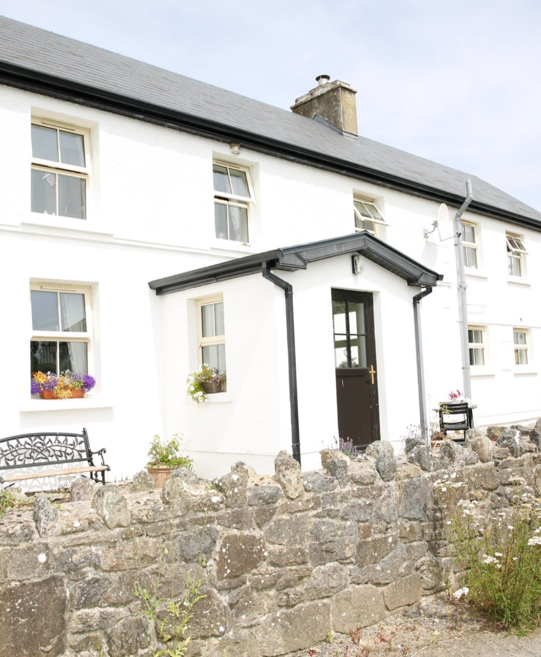 Enclosure in Formoyle WestEnclosure · 583 yd
 ToberanahircalloughHoly well · 1505 yd
 Faunarooska Castle (in ruins)Castle, tower house · 1.1 mi
 Balliny CaherRuins · 1.2 mi
 Formoyle R.C. ChapelChurch · 1.2 mi
 Fanore BeachVisitor information · 1.3 mi
 Slieve ElvaMountain / peak · 1.4 mi
 FaunarooskaCave · 1.5 mi
 PollbailinyCave · 1.6 mi
 CappanawallaMountain / peak · 3.0 mi
 Gleninagh CastleCastle · 3.4 mi
 Black HeadHeadland · 3.5 mi
Other information
Photo: Credit not shown in the picture search · Rights wording not checked; contact us if this picture should be removed