What is recorded here
Magic and belief shaped the region, but people built the fort. They cut stone, fitted stone to stone and made a boundary that could be entered, defended and lived inside. The fairy name came later, layering wonder on top of human labour.
On a SSW-facing slope on a ridge in an exposed area and within an extensive multiperiod field system (CL004-016001-). Listed as ‘Enclosure’ in the RMP (1996). Listed in Bowmer’s (2019, 80) study of rectilinear drystone cashels constructed during the early medieval period.
A roughly square cashel (48m NNE-SSW; 44m WNW-ESE) defined by a drystone wall which is best preserved at E and S (Wth 1-1.4m; max. H c. 1m). The wall construction at N and W appears to be later. A hut site (CL004-016034-) lies in the SW corner. The W and E walls continue towards a cashel (CL004-016022-) located 40m to the NNE.
The following image has been uploaded:
CL004-016021-_01.jpg Aerial view from NW (ASIAP, SMR file)
Compiled by: Mary Tunney and Lynda McCormack
Date of upload: 10 August 2022
The monument record does not grant public access. Check the route and ask the landowner before entering private land.
- What survives
- Recorded monument
Places near here
 IndicatedFairy fort / stone ringfort · 308 yd
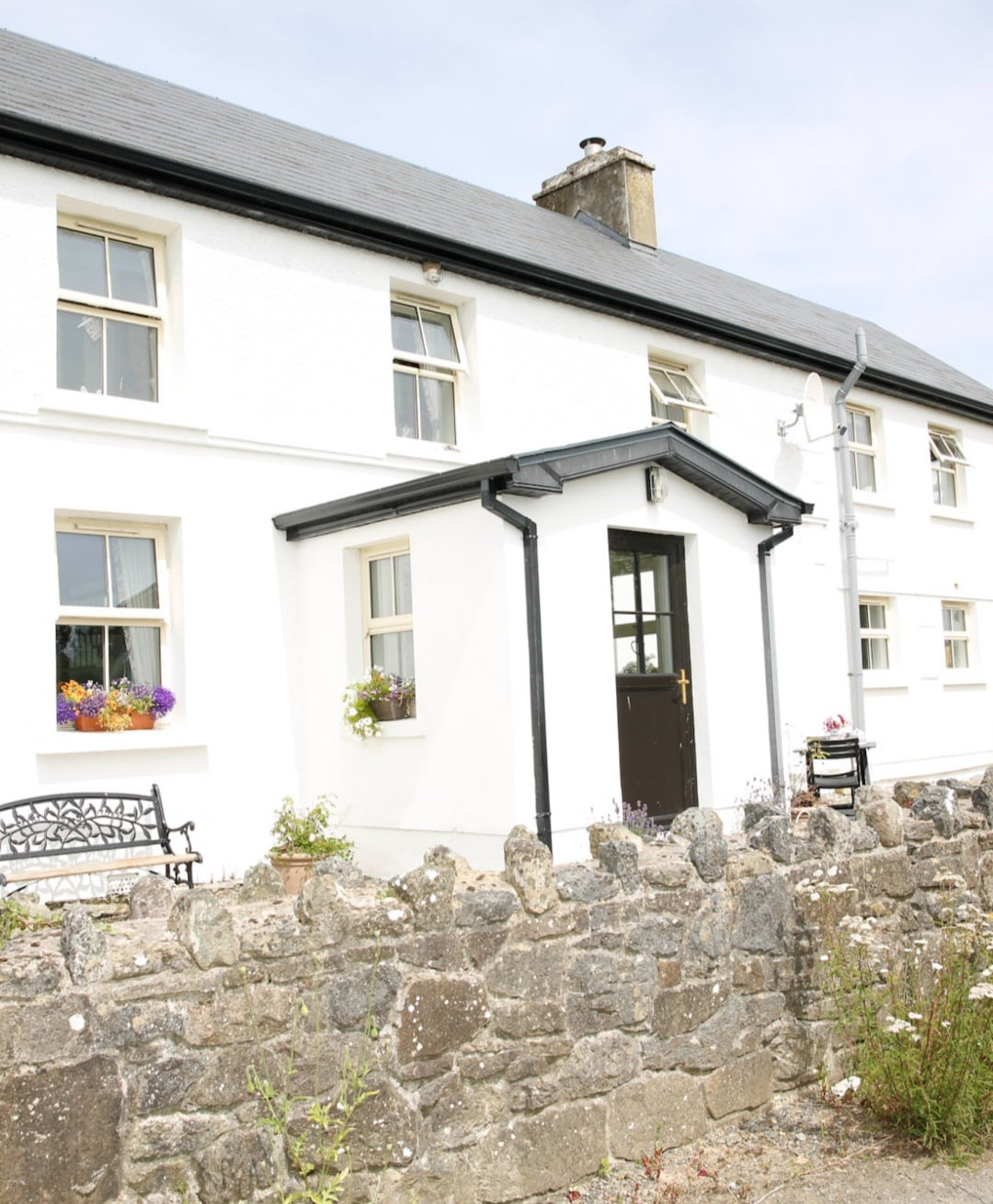 Enclosure in Formoyle WestEnclosure · 567 yd
 Faunarooska Castle (in ruins)Castle, tower house · 1716 yd
 Slieve ElvaMountain / peak · 1.0 mi
 Formoyle R.C. ChapelChurch · 1.1 mi
 FaunarooskaCave · 1.3 mi
 Balliny CaherRuins · 1.3 mi
 PollbailinyCave · 1.4 mi
 Fanore BeachBeach / strand · 1.9 mi
 CappanawallaMountain / peak · 3.0 mi
 Gregan CastleCastle · 3.2 mi
 Black HeadHeadland · 3.9 mi