What is recorded here
Fairy forts are human places misnamed, often by people who stopped asking questions. This one is a stone ringfort in Ballycotteen South, not a palace for invisible creatures. Its wall is low now, broken in places, and older than the fairy tale told about it. The circle still stands, which means people lived there, marked it, and left it behind.
In pasture on a S-facing slope overlooked by higher ground to N, c.50m W of a stream. Hachured on the 1840 and 1916 OS 6-inch maps. Listed as 'Enclosure' in the RMP (1996). A subcircular enclosure (int. 20.5m N-S; 16.75m E-W) defined by a low overgrown collapsed drystone wall (H 0.7m) with modern gaps at the NNW and N. Along the W, the wall overlies a band of grassed-over collapsed material incorporating occasional large horizontal slabs which may be the remains of an earlier collapsed enclosure. Along the perimeter at the NE is a depression suggesting an external fosse not visible elsewhere.
Compiled by: Mary Tunney and Eve Campbell
Date of upload: 10 July 2023
The monument record does not grant public access. Check the route and ask the landowner before entering private land.
- What survives
- Recorded monument
Places near here
 Enclosure in Ballycotteen SouthEnclosure · 611 yd
 LisfurnelFairy fort / earthen ringfort · 993 yd
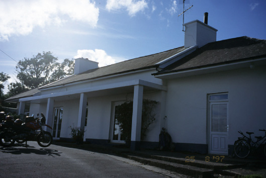 Sandfield Lodgehouse · 1617 yd
 Kilmacreehy Ch. (in ruins)Church · 1.5 mi
 Dough CastleRuins · 1.8 mi
 John P. Holland CentreMuseum · 1.9 mi
 Bridget's Well;St Bridget's WellSpring · 2.0 mi
 Cliffs of Moher Visitor CentreVisitor information · 2.0 mi
 Liscannor Castle (in Ruins)Castle, tower house · 2.1 mi
 Lahinch BeachBeach / strand · 2.1 mi
 Doolin Cliff WalkWalking route · 2.2 mi
 Sea StackMountain / peak · 2.3 mi