What is recorded here
That is the smallest possible complete answer for the facts supplied. The request already limits the answer to two or four sentences and 45 to 110 words, so adding more would not improve the answer for that prompt.
On a gentle S-facing slope controlling the mouth of a short narrow meandering valley (Wth (30-40m) defined by low (H 2-3m) outcropping bluffs, under rough pasture and within a field system (CL005-111002-). Listed as an ‘Enclosure’ in the RMP (1996). A poorly preserved subcircular cashel (26.3m E-W; 19.5m N-S) defined by a grassed-over stone spread (H 0.2-0.5m; Wth 1.1-2.6m) with some outer facing along W and S (max. H 0.4m). The townland boundary wall between Cullaun and Ballyconnoe runs over the line of the cashel at W. Earlier walls extend off the cashel under the townland boundary at NW and SW, and at NE. An enclosure (CL005-280----) overlooks the site from on top of an outcropping bluff, c. 100m S.
Compiled by: Mary Tunney and Ros Ó Maoldúin
Date of upload: 27 February 2023
The monument record does not grant public access. Check the route and ask the landowner before entering private land.
- What survives
- Recorded monument
Places near here
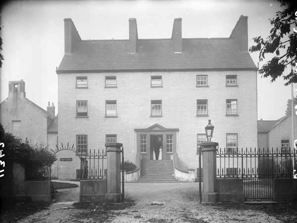 Enclosure in Ballyconnoe NorthEnclosure · 140 yd
 Enclosure in Cullaun (burren By.)Enclosure · 246 yd
 Cullaun 2Cave · 784 yd
 Cullaun 5 (C5)Cave · 1143 yd
 Penitential station in CahermakerrilaPenitential station · 1532 yd
 Killeany Church in ruinsChurch · 1550 yd
 CastleCastle, tower house · 1.1 mi
 Cahermacnaghten CashelHeritage attraction · 1.5 mi
 Site of Binroe CastleCastle, unclassified · 2.1 mi
 Slieve ElvaMountain / peak · 2.4 mi
 Ballyteigue Nature ReserveNature reserve · 2.7 mi
 CappanawallaMountain / peak · 4.4 mi