What is recorded here
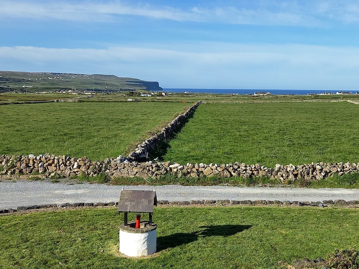
Ballycahan holds two cashels, one perhaps twenty metres across and the other barely eleven metres away, embedded in rough pastureland where limestone outcroppings break through the soil. Field walls cut across the larger circle and extend outward, suggesting human hands shaped the landscape long before modern fences arrived. The stones may have marked a dwelling, a boundary or a forgotten ritual place, yet they remain visible only through patience and aerial perspective. What is certain is that people lived near, passed beside or tended this spot, and the earth preserved enough of their work to resist complete erasure.
In rough pastureland in an area of outcropping limestone. The overgrown outline of a possible circular cashel (diam. c. 20m) is visible on current aerial imagery (OSi Digitalglobe (2011-2013) and Geohive MapGenie (2013-2018)). A field wall cuts across it from E to SSW and other field wall extend off it at SSW and NNW. Reported to the National Monuments Service by Conn Herriott. Another cashel (CL008-130001-) lies c. 11m to the W.
Compiled by: Olive Alcock
Date of upload: 27 September 2022
The monument record does not grant public access. Check the route and ask the landowner before entering private land.
- What survives
- Recorded monument
Places near here
 Enclosure in BallycahanEnclosure · 29 yd
 Enclosure in KillilaghEnclosure · 99 yd
 CastleCastle, unclassified · 1454 yd
 Catholic Church of the Holy Rosarychurch/chapel · 1466 yd
 Aran View SwalletCave · 1618 yd
 Roadford Bridgebridge · 1713 yd
 Doonmacfelim Castle (in Ruins)Castle, tower house · 1.1 mi
 Fisherstreet PotCave · 1.1 mi
 Doolin PointHeadland · 1.2 mi
 Doolin FerriesHeritage attraction · 1.3 mi
 Wild Atlantic Way: Doolin PierVisitor information · 1.3 mi
 Ballaghaline PointHeadland · 1.4 mi