What is recorded here
No visible trace remains on the gentle slope because the stone ringfort disappeared in 1949. It had kept a broad oval boundary, a northeaste gate, and a hidden corner of burnt stone where querns still turned grain into meal. The fairies may have taken the stones back after the humans stopped watching, leaving only a flat green field and a memory of shape.
Located on a gentle N-facing slope. This was removed in 1949 when it was described as an oval area ’44 yards NW-SE by 36 yards NE-SW’ which had an earth and stone bank and an outer fosse, with had an entrance at NE (NMI file). An area of burnt stone and charcoal ’11 yards by 7 yds’, from which two quern stones were recovered, was in the NW quadrant. Three decorated stones (ME009-103----; 104----; 105----) had been found in the perimeter at SE, and another piece (ME009-093----) was found c. 30m outside it to the W in 1972. The rath was still visible in 1969 as an oval grass-covered area (dims 48m N-S; 43.6m E-W) defined by a widely spread bank (at W: Wth of base 8.5m; int. H 0.2m; ext. H 0.4m) with an entrance (Wth of base 5m) at NE.
The above description is derived from the published 'Archaeological Inventory of County Meath' (Dublin: Stationery Office, 1987). In certain instances the entries have been revised and updated in the light of recent research.
Compiled by: Michael Moore
Date of revision: 1 November 2018
The monument record does not grant public access. Check the route and ask the landowner before entering private land.
- What survives
- Recorded monument
Places near here
 Indicated SheepfoldFairy fort / stone ringfort · 1019 yd
 Enclosure in BallinvallyEnclosure · 1122 yd
 Loughcrew Megalithic TombsHeritage attraction · 1420 yd
 Slieve Na CalliaghMountain / peak · 1491 yd
 Oliver Plunkett memorialMemorial · 1.1 mi
 CastleCastle, unclassified · 1.1 mi
 Drumlerry WetlandForest · 1.1 mi
 LoughcrewMegalithic tomb cemetery · 1.2 mi
 Carnbane WestMountain / peak · 1.3 mi
 C11Named rock · 1.3 mi
 Earthen TumulusCastle, motte · 1.4 mi
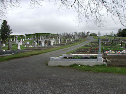 graveyard/cemeterygraveyard/cemetery · 1.9 mi