What is recorded here
An Máimín is a drowned stone ring on the south shore of Loch an Bhalla. Its collapsed wall still marks a circular island twenty metres across, while the north half rises higher than the south as if the land itself refused to let go. People may have built it, hidden there or abandoned it when the water took the approach; the lake keeps that much more of the story than the stones do.
Close to S shore of Loch an Bhalla. Circular artificial island (N-S 20.25m, E-W 18m). Traces of a drystone wall (H 1m max.) survive from E to SE; completely collapsed elsewhere. Interior partly overgrown but N half is much higher than S. (Robinson 1985, 15)
The above description is derived from the published 'Archaeological Inventory of County Galway Vol. I - West Galway'. Compiled by Paul Gosling (Dublin: Stationery Office, 1993).
Date of upload: 05 August 2010
The monument record does not grant public access. Check the route and ask the landowner before entering private land.
- What survives
- Recorded monument
Places near here
 Mass-rock in An MáimínMass-rock · 554 yd
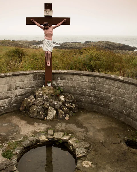 Holy well in An MáimínHoly well · 634 yd
 Slateford Corn MillMill, corn · 642 yd
 GarmnaIsland · 1038 yd
 Cnoc FionnMountain / peak · 1039 yd
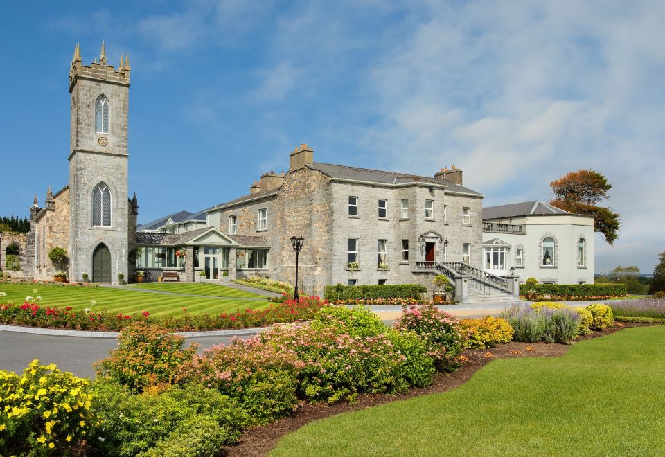 Abbey (in ruins)Church · 1490 yd
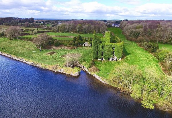 Castle (in ruins)Castle, unclassified · 1.4 mi
 Oileán an AnamaIslet · 1.6 mi
 Ionad Oidhreachta Leitir MealláinMuseum · 1.8 mi
 CastleCastle, unclassified · 1.8 mi
 Gob na Trá BáineHeadland · 2.1 mi
 Trá an DóilínBeach / strand · 2.5 mi