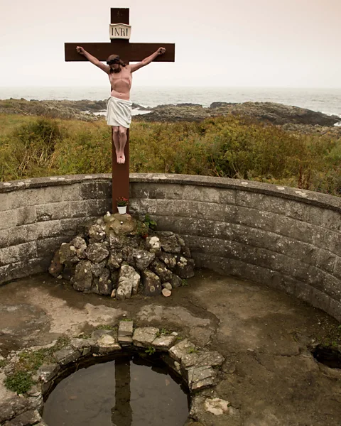
What is recorded here
No visible chamber, no grand monument, only a small natural triangular hollow cut into a broad flagstone beside the stream. That is all the evidence needed to imagine the place working: water entering a shaped stone at a crossing point, people returning to drink, rinse or mark the boundary between lands. The absence of a grand structure does not diminish the well; it removes the part that would have prevented ordinary use.
On S bank of a stream, which also marks the townland boundary, c. 150m upstream from Loch an Mhuilinn. Known locally as Tobairín an Átha Leacaigh, it consists of a small natural triangular hollow in a broad flagstone close to an obvious crossing-point on the stream (info. T. Robinson). Not visited.
The above description is derived from the published 'Archaeological Inventory of County Galway Vol. I - West Galway'. Compiled by Paul Gosling (Dublin: Stationery Office, 1993).
Date of upload: 05 August 2010
Linked to St. Léaca, the well is traditionally associated with cures for skin ailments and general healing. Local folklore suggests that the saint founded a small monastic site in the area, and the well’s waters were believed to have been blessed during a time of plague or sickness in the region.
The monument record does not grant public access. Check the route and ask the landowner before entering private land.
- What survives
- Recorded monument
Places near here
 Slateford Corn MillMill, corn · 92 yd
 GarmnaIsland · 732 yd
 Mass-rock in An MáimínMass-rock · 989 yd
 Cnoc FionnMountain / peak · 1134 yd
 Cromport R.C. Chapel (in ruins)Chapel · 1.1 mi
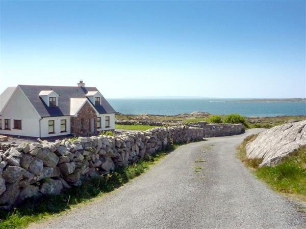 Na Rua-oileáinIslet · 1.4 mi
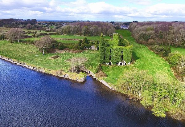 Castle (in ruins)Castle, unclassified · 1.4 mi
 Ionad Oidhreachta Leitir MealláinMuseum · 1.8 mi
 CastleCastle, unclassified · 2.1 mi
 Holy well in Tír An FhiaHoly well · 2.3 mi
 Gob na Trá BáineHeadland · 2.4 mi
 Trá an DóilínBeach / strand · 2.6 mi
Other information
Photo: Credit not shown in the picture search · Rights wording not checked; contact us if this picture should be removed