What is recorded here
Moss and forgotten anger belong to the fort now. It faces the sea, remembers the sky, and waits for someone steady enough to listen. The chamber is not empty. It is patient.
Internal diam. 20.6m N-S, 20.2m E-W
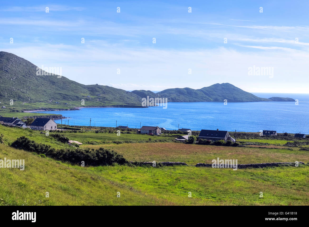
This ruined caher is located about 200m WNW of KE106-015---- and overlooks Ballinskelligs Bay to the W. The enclosing wall is very poorly preserved and is overlain in its E sector by a field boundary. The wall appears to have been faced with drystone masonry both internally and externally, but much of the inner facing is obscured by the heavy overgrowth which occupies the site. The external facing is of large boulders and may be intermittently traced around the entire circuit. It is abutted by stone collapse, and survives up to three courses high at SW. Four upright slabs, averaging .75m high, define the angles of a 1m wide entrance feature at S. A number of upright slabs occurs within the overgrown interior of the site but do not form any coherent pattern.
The above description is derived from A. O'Sullivan and J. Sheehan (compilers), 'The Iveragh peninsula: an archaeological survey of South Kerry'. Cork University Press (1996), no. 610. In certain instances the entries have been revised and updated in the light of recent research.
Date of upload: 30 July 2013
The monument record does not grant public access. Check the route and ask the landowner before entering private land.
- What survives
- Recorded monument
Places near here
 Field boundary in An LótharField boundary · 170 yd
 Indicated (1846).Fairy fort / stone ringfort · 235 yd
 Church in An LótharChurch · 559 yd
 Binn Uí RuaircMountain / peak · 1149 yd
 Com An ChisteViewpoint · 1266 yd
 Cnoc an StocaMountain / peak · 1.0 mi
 Hog's Head Signal TowerRuins · 1.3 mi
 Lamb's IslandIslet · 1.9 mi
 Pointe Lic an TeampaillHeadland · 2.0 mi
 Derrynane Bay Beach / Trá Bhá Doire FhionáinBeach / strand · 2.2 mi
 Páirc Náisiúnta Stairiúil Dhoire Fhíonáin / Derrynane National Historic ParkNature reserve · 2.2 mi
 CastleCastle, tower house · 2.3 mi