What is recorded here
No amount of staring will find the gap in the wall. The fort is a closed circle of stone and earth, thirty-five metres across, sitting atop a small hill where the valley unfolds in every direction. It is not a fortress built to keep invaders out, nor a home shaped for living. It is a boundary drawn complete, perhaps marking the edge of a field, a ritual or a claim so old it stopped needing an entrance.
At top of a small hill on the valley floor with very good views in all directions. A circular raised area (diam. c. 35m) enclosed by an earth and stone bank (int. H c. 0.2m; ext. H c. 1.4m). A field boundary runs E-W along the N edge of the monument. There is no visible entrance.
Compiled by: Jean Farrelly
Date of upload: 9 September 2015
The monument record does not grant public access. Check the route and ask the landowner before entering private land.
- What survives
- Recorded monument
Places near here
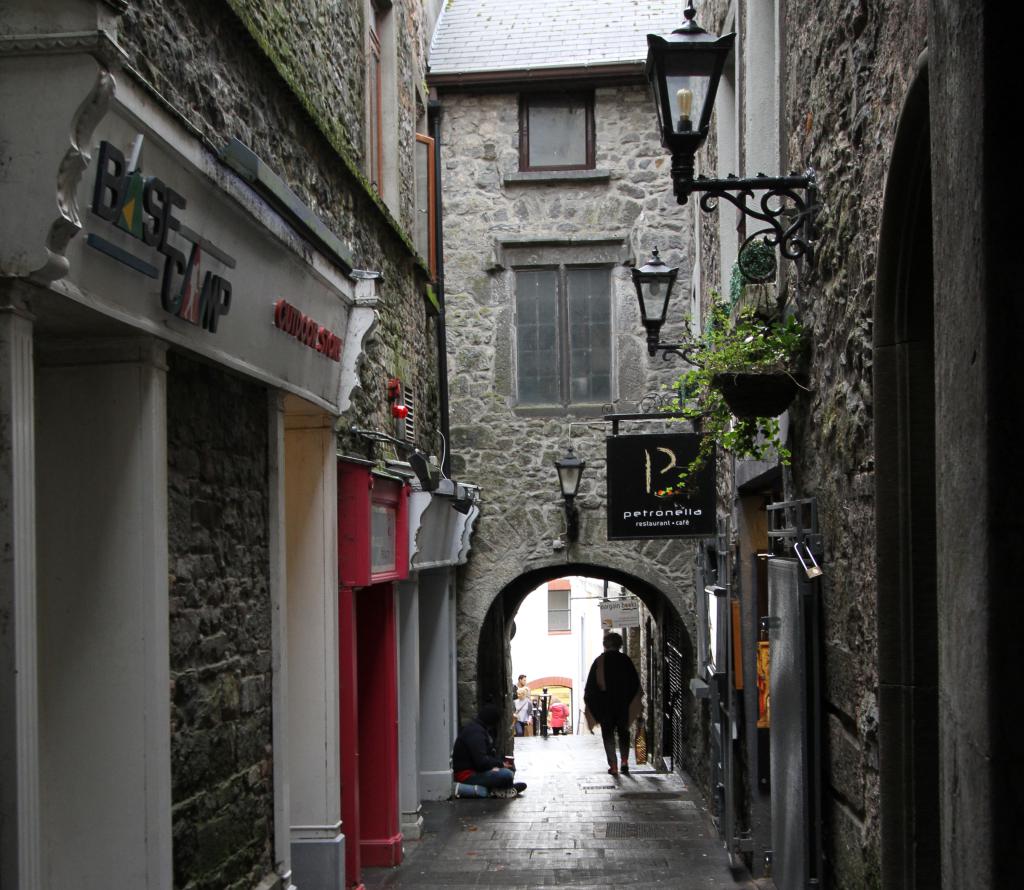 Bawn in WhiteswallBawn · 856 yd
 Church in Kyle (clandonagh By., Kyle South Ed)Church · 1093 yd
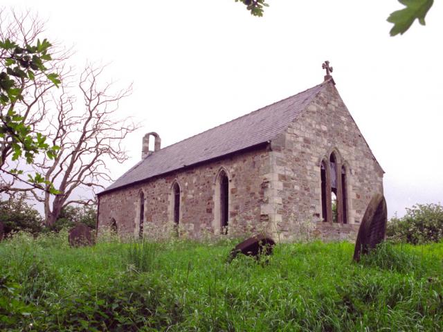 Church in WhiteswallChurch · 1184 yd
 RathbaneConcentric enclosure · 1522 yd
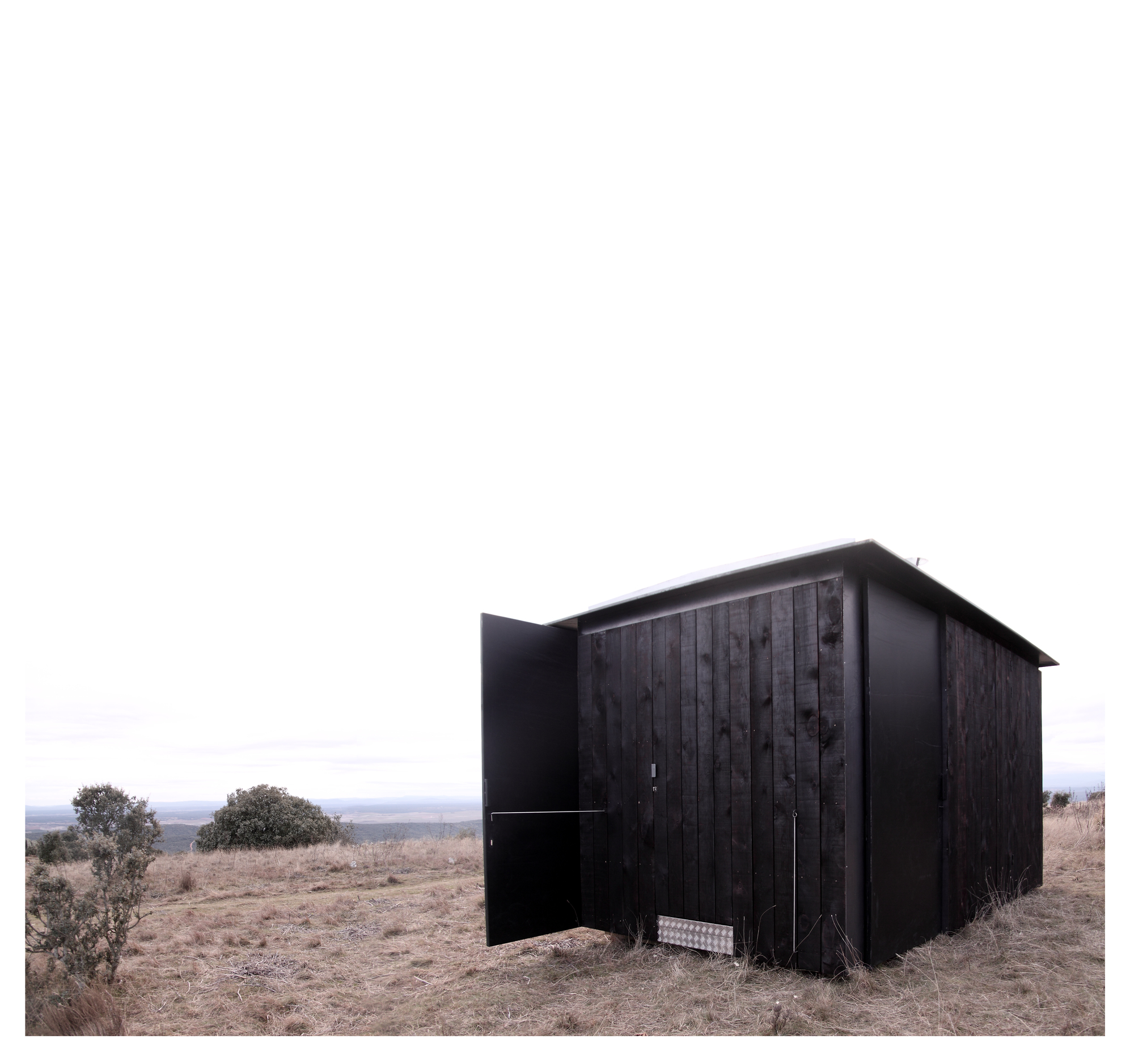 Enclosure in GraigueardEnclosure · 1.1 mi
 Cnoc SeanrathaMemorial · 1.3 mi
 Cody's CastleCastle · 1.6 mi
 Street fieldArchaeological place · 3.0 mi
 Big WoodWood · 4.2 mi
 DelaneyMemorial · 4.5 mi
 Anker's IslandIsland · 8.9 mi
 St. Mary's Famine and War MuseumMuseum · 13 mi