What is recorded here
Modern measurement records a thirty-six metre circle on a Galway rise, yet local memory calls the same earth a fairy fort. The ring may have been built for people, changed by people, and forgotten until imagination moved in. A road now cuts through one side, proving the place still gives way to human traffic. What is missing is not the shape but the life that shaped it.
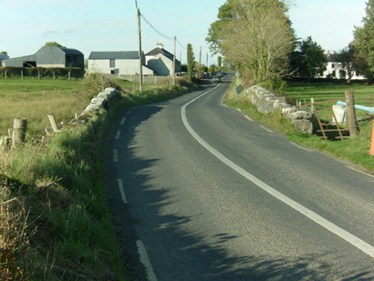
On a rise in undulating grassland. Circular rath (D 35.7m), in fair condition, defined by two banks and an intervening fosse. Numerous gaps in the inner bank appear modern. A road cuts the monument at E.
The above description is derived from the published 'Archaeological Inventory of County Galway Vol. II - North Galway'. Compiled by Olive Alcock, Kathy de hÓra and Paul Gosling (Dublin: Stationery Office, 1999).
Date of upload: 05 August 2010
The monument record does not grant public access. Check the route and ask the landowner before entering private land.
- What survives
- Recorded monument
Places near here
 Ballymacward Bridgebridge · 1373 yd
 Carrownea Ho.Country house · 1407 yd
 Enclosure in Liscune UpperEnclosure · 1.2 mi
 Enclosure in CarrowhollaEnclosure · 1.3 mi
 Castle (in Ruins)Castle, unclassified · 2.2 mi
 Western RedcedarWestern Redcedar · 2.4 mi
 European Crab AppleEuropean Crab Apple · 2.5 mi
 Site of Doon CastleCastle, unclassified · 3.0 mi
 Kilconnell AbbeyHeritage attraction · 3.7 mi
 Menlough IRAMemorial · 5.6 mi
 Battle of Aughrim Interpretative CentreMuseum · 7.7 mi
 Battle of AughrimMajor battlefield · 8.2 mi