What is recorded here
Quarrying scarred the earth before memory, yet the fort still stands on its hill, a shallow bowl marked by a field bank and a rectangular wound in the grass. It is not a polished monument but a lived-in shape, the kind of place where people may have kept fire, children, or secrets while the land shifted around them.
On a prominent hill in grassland. Poorly preserved subcircular rath (NW-SE 45.8m, NE-SW 43.5m) defined by a scarp which is disturbed by quarrying. A field bank surrounds the monument from NE to E. A small stone-lined rectangular depression within the interior is the result of quarrying.
The above description is derived from the published 'Archaeological Inventory of County Galway Vol. II - North Galway'. Compiled by Olive Alcock, Kathy de hÓra and Paul Gosling (Dublin: Stationery Office, 1999).
Date of upload: 05 August 2010
The monument record does not grant public access. Check the route and ask the landowner before entering private land.
- What survives
- Recorded monument
Places near here
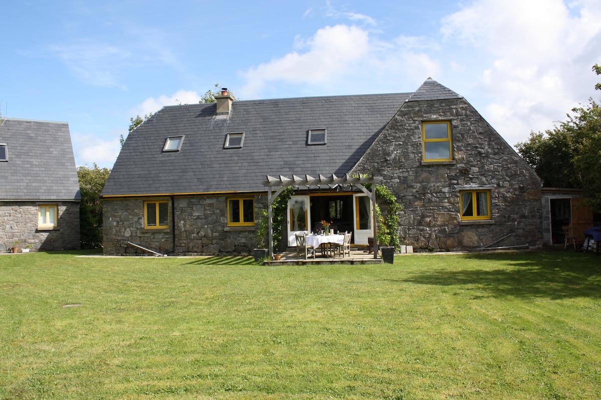 Killagh HouseFairy fort / ringfort · 645 yd
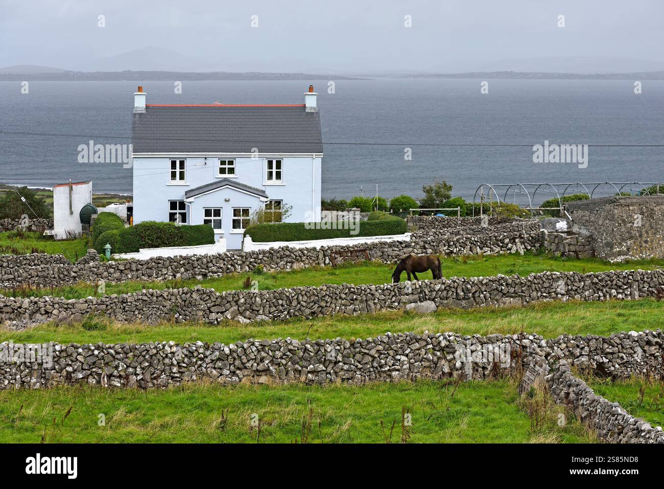 Enclosure in Castlebin NorthEnclosure · 896 yd
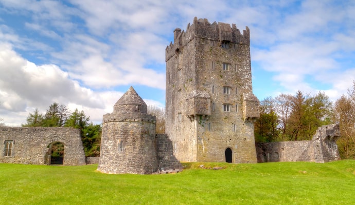 CastleCastle, unclassified · 1466 yd
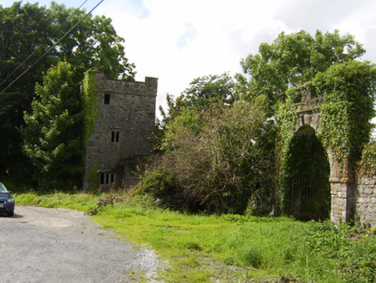 Woodlawngate lodge · 1737 yd
 Woodlawn WoodsForest · 1737 yd
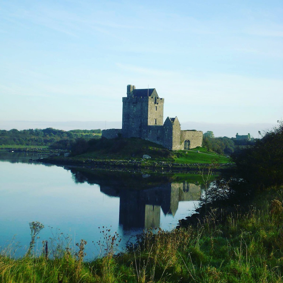 R.C. ChapelChurch · 1.0 mi
 European Crab AppleEuropean Crab Apple · 1.2 mi
 Site of Lisnamoltaun CastleCastle, unclassified · 1.7 mi
 Kilconnell AbbeyHeritage attraction · 4.0 mi
 Turoe StoneHeritage attraction · 5.1 mi
 Battle of Aughrim Interpretative CentreMuseum · 7.2 mi
 Battle of AughrimMajor battlefield · 7.6 mi