What is recorded here
Situated on the E side of the summit of a prominent hillock, in pasture with good views to NNE. Depicted on the revised 1913 ed. OS 25-inch map as a roughly circular-shaped tree-planted earthwork. Monument described in 1978 as an almost completely levelled, roughly circular-shaped area (dims. 49m N-S; 40m E-W) enclosed by a very slight, smooth scarp and slight traces of an external fosse. No clear entrance feature visible. The interior has a gentle ESE-facing slope and the surface is uneven with humps and hollows due to trees which were planted within. A low, circular-shaped rise within the WNW quadrant appears to be natural. The area outside the scarp at W has also been defaced in modern times. Outline of much degrade monument visible today on Digital Globe aerial photographs.
Compiled by Alison McQueen, Vera Rahilly and Caimin O’Brien.
Date of upload: 05 September 2019
The monument record does not grant public access. Check the route and ask the landowner before entering private land.
- What survives
- Recorded monument
Places near here
 Togherstown Househouse · 352 yd
 Font (present location) in TogherstownFont (present location) · 725 yd
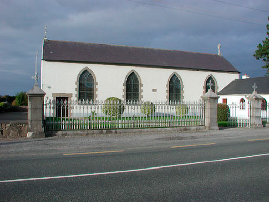 Catholic Church of the Assumptionchurch/chapel · 734 yd
 Partially indicatedEcclesiastical enclosure · 769 yd
 Site of CastleCastle, unclassified · 1033 yd
 Boleyvillish CastleCastle · 1171 yd
 Hill of UisneachMountain / peak · 1.0 mi
 European ashEuropean ash · 1.9 mi
 Ancient Ring FortWood · 3.1 mi
 KnockastiaMountain / peak · 5.2 mi
 Abbeyshrule AbbeyRuins · 7.9 mi
 Guest ServicesVisitor information · 8.4 mi