What is recorded here
Fairy fort in Tawnycorragh, County Leitrim, stands as a grass-covered oval platform beside a small stream, overlooking Lough Allen. Measuring fifteen metres north to south and eleven point five metres east to west, the earthen mound rises as high as one point eight metres at its southern edge. Slight traces of an external ditch remain visible around the base. The site preserves the shape of an old ringfort, though its exact purpose and occupants have faded from memory.
Located beside a small N-S section of a stream on an E-facing slope overlooking Lough Allen. This is a grass- and scrub-covered oval flat-topped earthen platform (dims 15m N-S; 11.5m E-W; H 0.2m to 1.8m at S, downslope) with slight traces of an external fosse.
The above description is derived from 'The Archaeological Inventory of County Leitrim' compiled by Michael J. Moore (Dublin: Stationery Office, 2003). In certain instances the entries have been revised and updated in the light of recent research.
Date of upload/revision: 13 December 2011
The monument record does not grant public access. Check the route and ask the landowner before entering private land.
- What survives
- Recorded monument
Places near here
 Penal Mass station in TawnycorraghPenal Mass station · 687 yd
 Temple na galliagh dooChurch · 771 yd
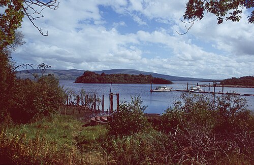 Lough AllenLarge freshwater lake · 1.6 mi
 GubcormonganHeadland · 1.7 mi
 Sweat Ho. (Disused)Sweathouse · 1.7 mi
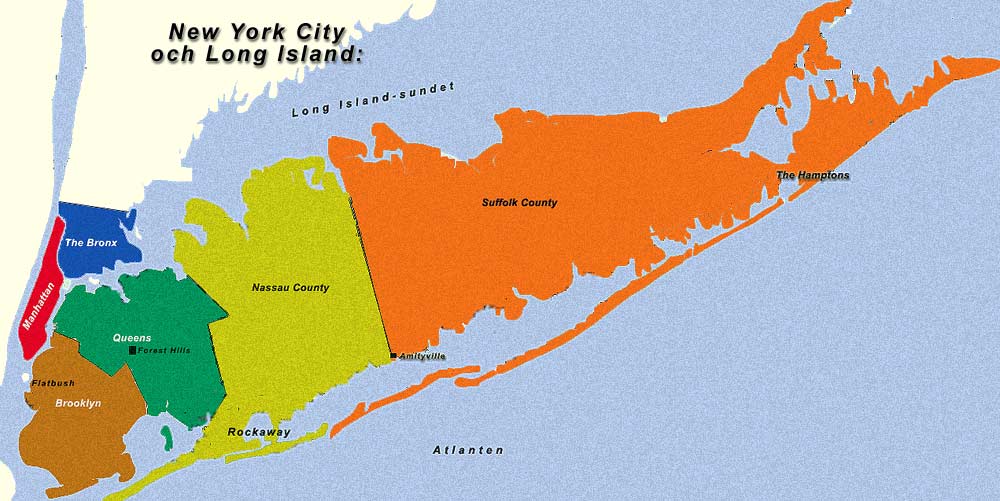 Long IslandIslet · 1.9 mi
 Round IslandIslet · 1.9 mi
 Scardan WaterfallWaterfall · 2.1 mi
 IndicatedFairy fort / earthen ringfort · 2.1 mi
 European ashEuropean ash · 2.3 mi
 Black PoplarBlack Poplar · 2.3 mi
 Arigna Mining ExperienceMuseum · 2.8 mi