What is recorded here
Ceann Coradh was the Ua Briain power centre, built by Brian Bóroime in 1012, and it survived repeated destruction because it sat above the Shannon ford like a warning. Aed Ua Conchobair burned it in 1061, ate two salmon from its well, and closed the well, as if hunger and pride could unmake a kingdom. Lightning struck again in 1107 and killed six vats of beer and mead, leaving the hill empty except for memory.
Bradley (1994, 175-6) has summarised the evidence for this fort as follows: ‘According to the Annals of Inisfallen the fort (cathair) of Ceann Coradh was built in 1012 by Brian Bóroime. In 1016 it was attacked and destroyed by the Connachta but, despite such raids, it continued to be the most important Ua Briain residence. Even after Limerick had become the Ua Briain capital it remained the symbolic centre of their power. Ceann Coradh occupied the high ground at the west end of the modern town on the summit of which St Flannán’s (RC) church now stands. A weir extended across the river Shannon at this point until modern times, and it is presumably from this feature that the site obtained its name. The components of the fort are unknown but the referneces to it as a dún or cathir indicate that it was a fortified enclosure defended either by a palisade or stone rampart. Its situation on the hill overlooking the ford is a commanding one affording the fine views in all directions. The only documented feature within the fort is a sacred well which is mentoned in 1061. In that year Aed Ua Conchobair, Kind of Connacht, ‘burned Cill-Dalua, and demolished the fortress (dún) of Cenn-coradh, and ate the two salmon that were in the well of Cenn-coradh, and the well was afterwards closed up by him’. It might also be inferred from the annalistic entry of 1107 that there was as storehouse within the enclosure. In that year Ceann Coradh was struck by lightning and the king’s store of beer and mead, amounting to 6- vats (dabhach), was destroyed.’ The precise location of this fort is unknown and it is O'Donovan (OS Letters ii, 346-7) and Westropp (1911-12, 202-3) who concur in positioning it on the top of the hill.
Compiled by: Paul Walsh
See attached document with details from Risteárd Ua Cróinín and Martin Breen, The Castles and Tower-houses of Co. Clare (unpublished report). Uploaded courtesy of R. Ua Cróinín and M. Breen.
Date of upload: 16 December 2014
This remains an important historical record, but the official description says the monument is no longer visible or has been destroyed. The monument record does not grant public access. Check the route and ask the landowner before entering private land.
- What survives
- No visible remains or recorded as destroyed
Places near here
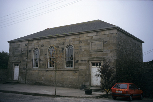 Killaloe Courthousecourt house · 399 yd
 Saint Flannan's Catholic Churchchurch/chapel · 459 yd
 TobermurraghHoly well · 698 yd
 Cath.Cathedral · 719 yd
 Brian Boru Heritage CentreVisitor information · 739 yd
 My Next AdventureHeritage attraction · 799 yd
 Ballina Castle (in ruins)Castle, tower house · 929 yd
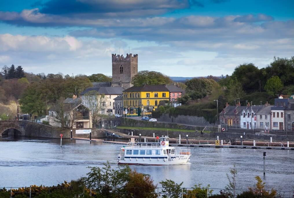 Cloghaneena (in ruins)Castle, hall-house · 1061 yd
 Brian Boru FortHeritage attraction · 1.1 mi
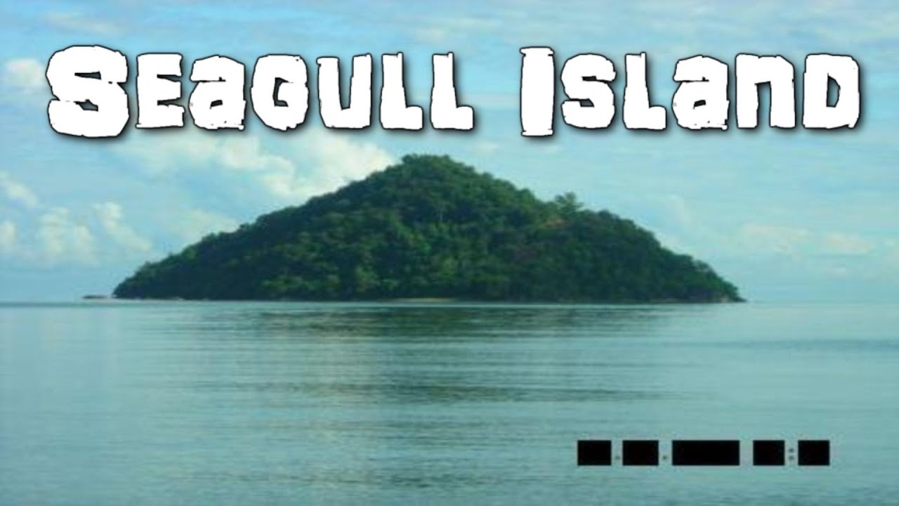 Seagull IslandIslet · 1.9 mi
 The Pollagh TrailNature reserve · 2.2 mi
 BallycuggaranForest · 2.2 mi