What is recorded here
Carriebrack, County Clare. No further information is currently recorded.
This ringfort is situated on the N slopes of Carrickgollogan in upland pasture. This site is shown as a roughly circular enclosure (diam. c. 50m) on the 1843 OS 6-inch map. It also depicts a possible hut site in the S end of the interior. It is partially marked on the 1937 OS ed. Healy (1975, 1-19) described the site as a ringfort (diam.33m). The area has since been planted with trees leaving no visible remains.
Compiled by: Geraldine Stout and Padraig Clancy.
Revised upload on: 19 April 2018.
The monument record does not grant public access. Check the route and ask the landowner before entering private land.
- What survives
- Recorded monument
Places near here
 Megalithic tomb in ShankillMegalithic tomb · 515 yd
 Carrickgollogan HillMountain / peak · 543 yd
 Fulacht fia in ShankillFulacht fia · 568 yd
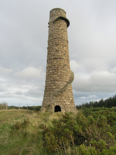 chimneychimney · 727 yd
 Ballycorus ChimneyRuins · 728 yd
 Rathmichael WalkWalking route · 1059 yd
 Bawn in RathmichaelBawn · 1146 yd
 Puck's CastleCastle · 1174 yd
 Barnaslingan - Pine loop trailWalking route · 1337 yd
 Barnaslingan HillMountain / peak · 1669 yd
 Graveyard in BallymanGraveyard · 1.3 mi
 Dingle GlenNature reserve · 1.6 mi