What is recorded here
Rathcannon is a hollow jar, not a fortress. The survey men called it one of ten ancient forts in 1840, but by 1897 the land had swallowed the name. What remains is a pasture edge, a farmyard shadow, a boundary drawn and erased. The fort never resisted invasion; it resisted remembering.
In pasture, miscellaneous excavated site (LI039-190----) lies 180m to the W. Depicted on the 1840 ed. OSi 6-inch map as an oval shaped platform defined by a scarp. Not marked on 1897 ed. OSi 25-inch map, indicating that the monument was levelled between these map dates. In 1840 the Ordnance Survey recorded this monument as ‘one of ten ancient forts’ in the centre of the townland (OSNB Abbeyfeale to Bruree, 139). No surface remains visible of levelled monument in modern farmyard on OSi orthophotograph taken between 2005-12 and on Google Earth orthoimages.
See attached Google Earth orthoimages.
Compiled by: Fiona Rooney
Date of upload: 14 April 2021
The monument record does not grant public access. Check the route and ask the landowner before entering private land.
- What survives
- Recorded monument
Places near here
 Burial in RathcannonBurial · 364 yd
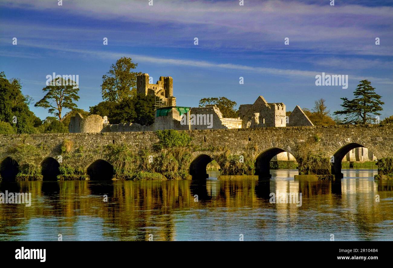 BarrowBarrow, unclassified · 425 yd
 OutlinedBawn · 1110 yd
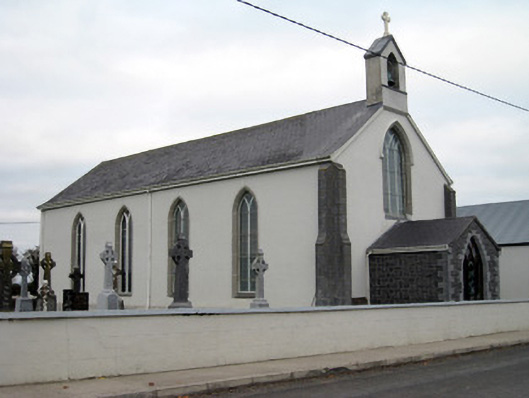 Catholic Church of Saint John the Baptistchurch/chapel · 1.2 mi
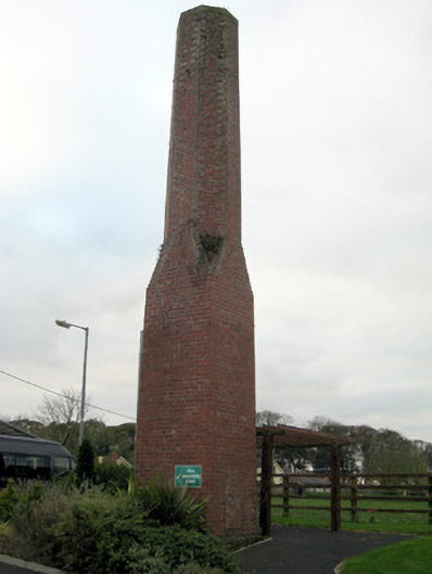 chimneychimney · 1.2 mi
 Castle IeversCastle, unclassified · 1.4 mi
 Monasteranenagh AbbeyHeritage attraction · 3.7 mi
 European ashEuropean ash · 4.6 mi
 Lough GurVisitor information · 4.7 mi
 Biodiversity in the Maigue CatchmentVisitor information · 5.3 mi
 Pedunculate OakPedunculate Oak · 5.6 mi
 The SpectaclesVisitor information · 5.8 mi