What is recorded here
No one knows when the fort fell or who flattened it, but the ground still holds the shape of a room built for watching. That much is certain: a circular earthwork stood on the slope, large enough to hold a household and proud enough to be seen from nearby fields. Its disappearance is an act, not a fade. The living area was taken, measured, and made ordinary. The fort did not vanish; it was erased from the landscape after doing its work.
On a slight N-facing slope, in pasture, with moderate to good views in all directions, abutting the townland boundary with Maghera to SE. Ringfort (LI021-100----) lies 18m to S. Depicted on the 1840 ed. OS 6-inch map as a circular-shaped earthwork (approx. diam. 46m) within a small subrectangular-shaped field. Not indicated on 1897 OS 25-inch map suggesting that the monument was levelled between these dates. Monument surveyed by the ASI in 2000 and described as no surface remains visible. Monument is not visible on Digital Globe orthophotos taken 2011-13 or on Google Earth orthoimages taken 28/06/2018.
See attached Google Earth orthoimages
Compiled by: Alison McQueen and Vera Rahilly
Date of upload: 29 July 2020
The monument record does not grant public access. Check the route and ask the landowner before entering private land.
- What survives
- Recorded monument
Places near here
 IndicatedEnclosure · 419 yd
 Enclosure in MagheraEnclosure · 604 yd
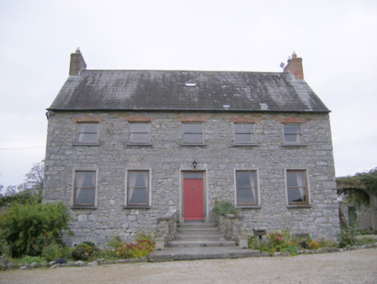 Tory Hill Housecountry house · 1498 yd
 Killeenoghty Church (in ruins)Church · 1584 yd
 Fanningstown Castle (in ruins)Castle, tower house · 1.3 mi
 Biodiversity in the Maigue CatchmentVisitor information · 1.5 mi
 Ballinveala Castle (in ruins)Castle, tower house · 1.6 mi
 European ashEuropean ash · 1.8 mi
 Dysert AenghusaHeritage attraction · 2.0 mi
 Monasteranenagh AbbeyHeritage attraction · 2.6 mi
 GinkgoGinkgo · 3.2 mi
 Villiers WellSpring · 3.6 mi