What is recorded here
Fairy fort in Rathbaun, County Galway: a 25-metre circular rath on a west-facing hill slope, largely quarried away at the north-west and north-east. What remains is a shallow scarp and a suggestion of a ring, enough to mark the hillside and trigger imagination. People may have lived, hidden or worshipped there before the stones were taken for other uses. The fort has lost most of its shape but it still points to a time when the slope belonged to someone.
On W-facing slope of a hill. Very poorly preserved circular rath (D 25m) defined by a scarp. The monument has been quarried out at NW and NE.
The above description is derived from the published 'Archaeological Inventory of County Galway Vol. II - North Galway'. Compiled by Olive Alcock, Kathy de hÓra and Paul Gosling (Dublin: Stationery Office, 1999).
Date of upload: 05 August 2010
The monument record does not grant public access. Check the route and ask the landowner before entering private land.
- What survives
- Recorded monument
Places near here
 Enclosure in LisnagreeEnclosure · 1110 yd
 Quarry in CaltraQuarry · 1426 yd
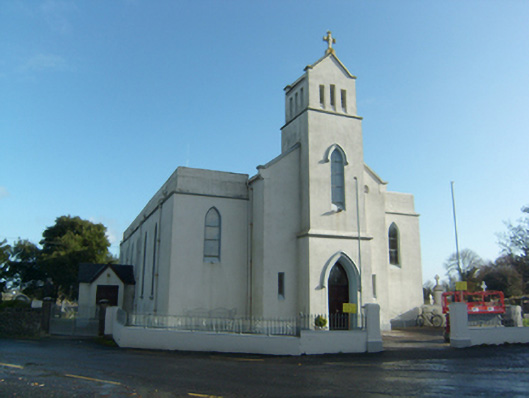 Saint Solan's Catholic Churchchurch/chapel · 1585 yd
 Enclosure in CastleblakeneyEnclosure · 1630 yd
 Castle (Site of)Castle, unclassified · 1.1 mi
 Castle (in ruins)Castle, unclassified · 1.2 mi
 Sweet ChestnutSweet Chestnut · 3.2 mi
 Mountbellew ForestForest · 3.4 mi
 Ballinlass Eviction MemorialMemorial · 4.8 mi
 Menlough IRAMemorial · 5.0 mi
 Kilconnell AbbeyHeritage attraction · 6.9 mi
 Mount MaryMountain / peak · 10 mi