What is recorded here
Rahardrum is called a fairy fort because a ringfort still lies hidden beneath flat pasture, resisting every attempt to measure or expose it. That is the shape of the claim: not a building, but a boundary the land keeps drawing back.
Marked 'Fort' on OS 1836 ed. and 'Site of' on 1876 ed. Situated in relatively flat pasture-land. Not visible at ground level.
The above description is derived from the published 'Archaeological Inventory of County Cavan' (Dublin: Stationery Office, 1995). In certain instances the entries have been revised and updated in the light of recent research.
Date of upload/revision: 22 December 2008
The monument record does not grant public access. Check the route and ask the landowner before entering private land.
- What survives
- Recorded monument
Places near here
 Virginia Handball ClubMemorial · 578 yd
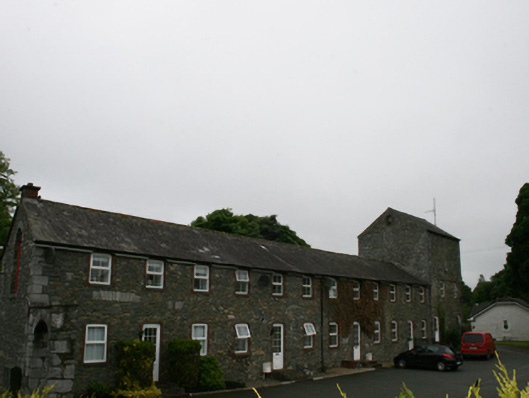 mill (water)mill (water) · 617 yd
 Virginia Courthousemarket house · 646 yd
 The Virginia BroochMonument · 667 yd
 European YewEuropean Yew · 686 yd
 Roll of HonourMonument · 778 yd
 Welcome to VirginiaVisitor information · 846 yd
 Ramor Aontaithe C.L.G. Dolan ParkMemorial · 1186 yd
 Sessile OakSessile Oak · 1439 yd
 CornasheskMountain / peak · 1565 yd
 Sallow IslandIslet · 1639 yd
 Stony IslandsIslet · 1730 yd