What is recorded here
Quarrying has bitten into the southeast bank, but the subcircular rath still holds its shape thirty-five metres across in Perssepark. The southern gap remains two metres wide, perhaps an intentional doorway rather than a collapse, while a shallow eastern depression hints at a forgotten moat. People may have lived inside this earthen ring before stones were taken from it, leaving behind a boundary that resists erasure despite the scars on its skin.
Circa 100m SSE of an enclosure (GA087-208----). Subcircular rath (E-W 35m, N-S 31m), in fair condition, defined by a bank. A shallow depression at E may indicate an external fosse. A gap (Wth 2m) at S could be original. Quarrying has encroached upon the enclosing element at SE.
The above description is derived from the published 'Archaeological Inventory of County Galway Vol. II - North Galway'. Compiled by Olive Alcock, Kathy de hÓra and Paul Gosling (Dublin: Stationery Office, 1999).
Date of upload: 05 August 2010
The monument record does not grant public access. Check the route and ask the landowner before entering private land.
- What survives
- Recorded monument
Places near here
 LisnagreeveEnclosure · 494 yd
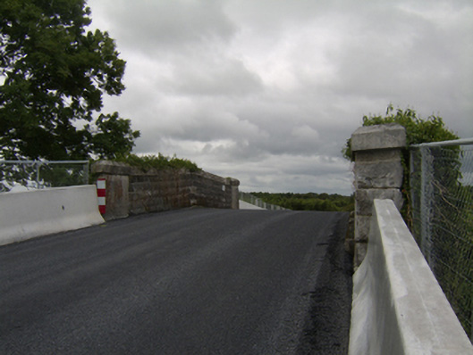 bridgebridge · 756 yd
 Enclosure in Grange (clonmacnowen By.)Enclosure · 1148 yd
 IndicatedChurch · 1317 yd
 West WoodWood · 1.2 mi
 Castle (Site of)Castle, Anglo-Norman masonry castle · 1.9 mi
 Urraghry HillMountain / peak · 2.0 mi
 Oak WoodWood · 2.0 mi
 Battle of Aughrim Interpretative CentreMuseum · 2.2 mi
 Killure Castle (in ruins)Castle, tower house · 2.4 mi
 Battle of AughrimMajor battlefield · 2.5 mi
 The bloody HollowHeritage attraction · 2.5 mi