What is recorded here
On a low natural rise of ground in gently undulating pasture. Levelled ringfort consisting of a large oval shaped area (diam. c. 56m NW-SE; 39m NE-SW defined by a cropmark visible on the ground as a narrow zone (Wth 4m) of differential vegetation growth. Patches of gravelly earth visible in the interior of the monument may mark the site of a levelled house. Depicted as an oval-shaped enclosure, the E side of which is intersected by a townland boundary between Oldtown and Farthingstown (Fartullagh By.) running N-S, on the 1837 ed. OS 6-inch map. Marked 'Fort' on the OS Fair Plan map of the parish of Castlelost (SMR File).
Compiled by: Caimin O'Brien
Date of upload: 24 July 2013
The monument record does not grant public access. Check the route and ask the landowner before entering private land.
- What survives
- Recorded monument
Places near here
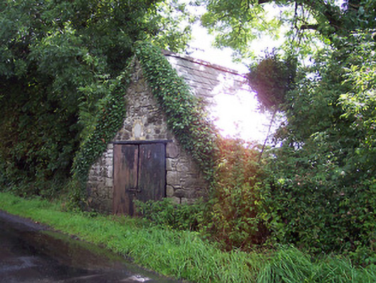 The Forgeforge/smithy · 421 yd
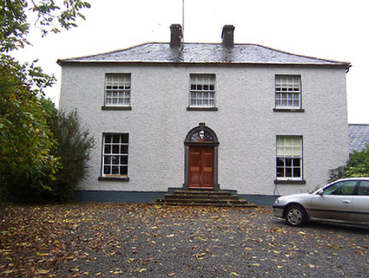 Far View Househouse · 1005 yd
 Enclosure in OldtownEnclosure · 1097 yd
 OutlinedFairy fort / earthen ringfort · 1107 yd
 CastleCastle, unclassified · 1494 yd
 Castlelost MoatCastle, motte and bailey · 1520 yd
 Derrygreenagh HillMountain / peak · 2.8 mi
 Knockdrin HillMountain / peak · 3.8 mi
 Croghan HillMountain / peak · 4.6 mi
 Finnrenashark Holy WellSpring · 4.8 mi
 Croghan Hill WalkVisitor information · 4.9 mi
 Dysart IslandIsland · 5.7 mi