What is recorded here
Mounthazel holds a forgotten ringfort, a shallow circular scar in gentle grass where human hands shaped the earth before memory faded. It is not a grand castle or a clear palace, but a small vanished neighbourhood, perhaps marked by a boundary bank and a ditch that rain has since softened. The field still remembers the shape, even if the names and rooms have left it.
In gently undulating grassland. Poorly preserved almost circular rath (D 39m) defined by a low scarp and shallow external fosse. From NW to N, slight traces of a possible outer bank are evident.
The above description is derived from the published 'Archaeological Inventory of County Galway Vol. II - North Galway'. Compiled by Olive Alcock, Kathy de hÓra and Paul Gosling (Dublin: Stationery Office, 1999).
Date of upload: 05 August 2010
The monument record does not grant public access. Check the route and ask the landowner before entering private land.
- What survives
- Recorded monument
Places near here
 Enclosure in HampsteadEnclosure · 520 yd
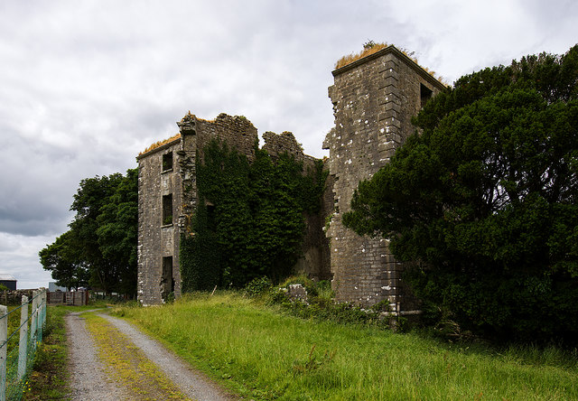 Hampstead Ho.Country house · 898 yd
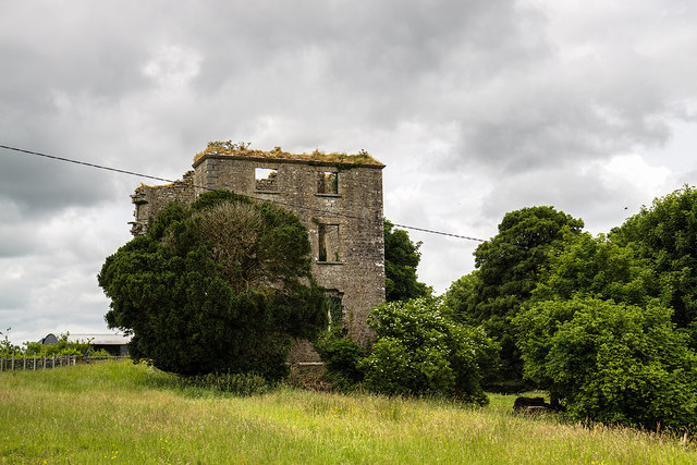 Hampstead Househouse · 900 yd
 Mass-rock in Killamude EastMass-rock · 1316 yd
 Menlough IRAMemorial · 2.6 mi
 Castle (Site of)Castle, unclassified · 3.3 mi
 Mountbellew ForestForest · 4.6 mi
 Garbally Castle (in ruins)Castle, tower house · 4.7 mi
 European Crab AppleEuropean Crab Apple · 4.7 mi
 Kilconnell AbbeyHeritage attraction · 6.7 mi
 Battle of Aughrim Interpretative CentreMuseum · 11 mi
 Battle of AughrimMajor battlefield · 11 mi