What is recorded here
Situated on a low rise, at the W end of an irregular ridge (long-axis E-W), in pasture with extensive views in all directions. Not depicted on any OS historic mapping. In 1980 an ASI field report noted a small stretch of very low scarp at the NE edge of the natural rise and suggested that it could potentially define the perimeter of an earthwork. The fieldworker through that it was indefinite and could also be the remains of a residual feature of the cultivation ridges. However the outline of a circular shaped enclosure is visible on Digital Globe photography as a light-green circular cropmark (approx. diam. 54m) enclosing a dark area of rough pasture within the interior. Old cultivation ridges running ENE-WSW are also seen respecting the cropmark of the enclosure suggesting that it was extant before the ridges were formed. A public road running NE-SW truncates the NW sector of the monument. A Man-made underground passage (WM017-039----) is located in the W quadrant of this enclosure.
Compiled by: Alison McQueen, Vera Rahilly and Caimin O’Brien
Date of upload: 05 December 2018
The monument record does not grant public access. Check the route and ask the landowner before entering private land.
- What survives
- Recorded monument
Places near here
 Partially hachuredFairy fort / earthen ringfort · 240 yd
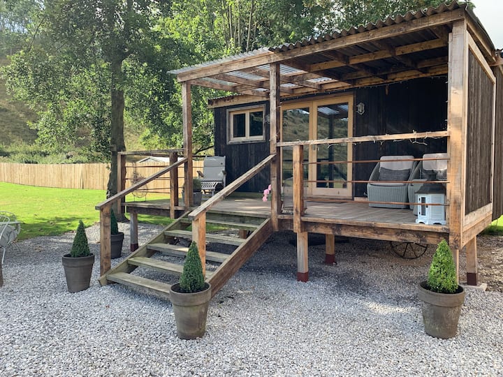 Hut site in BigfurzeHut site · 406 yd
 Rathcastle Househouse · 1459 yd
 Saint Mary's Catholic Churchchurch/chapel · 1727 yd
 Milltown Castle in ruinsCastle, unclassified · 1.1 mi
 Site of CastleCastle, unclassified · 1.3 mi
 Ancient Ring FortWood · 1.6 mi
 Sessile OakSessile Oak · 3.7 mi
 Abbeyshrule AbbeyRuins · 4.4 mi
 Craft WorkshopHeritage attraction · 5.9 mi
 Guest ServicesVisitor information · 6.0 mi
 Noughaval CemeteryArchaeological place · 9.1 mi