What is recorded here
Mirehill ringfort: 37m north-south, 35m east-west, with an inner drystone wall, a fosse between the walls and an earthen outer bank. It stands in undulating Galway grassland, reduced but still readable as a made place rather than a random heap of stones. People may have lived there, herded there, argued there or abandoned it when the land changed; the circle still insists that it was not empty.
In undulating grassland. Poorly preserved subcircular ringfort (N-S 37m, E-W 35m) defined by an inner drystone wall, intervening fosse and earthen outer bank.
The above description is derived from the published 'Archaeological Inventory of County Galway Vol. II - North Galway'. Compiled by Olive Alcock, Kathy de hÓra and Paul Gosling (Dublin: Stationery Office, 1999).
Date of upload: 05 August 2010
The monument record does not grant public access. Check the route and ask the landowner before entering private land.
- What survives
- Recorded monument
Places near here
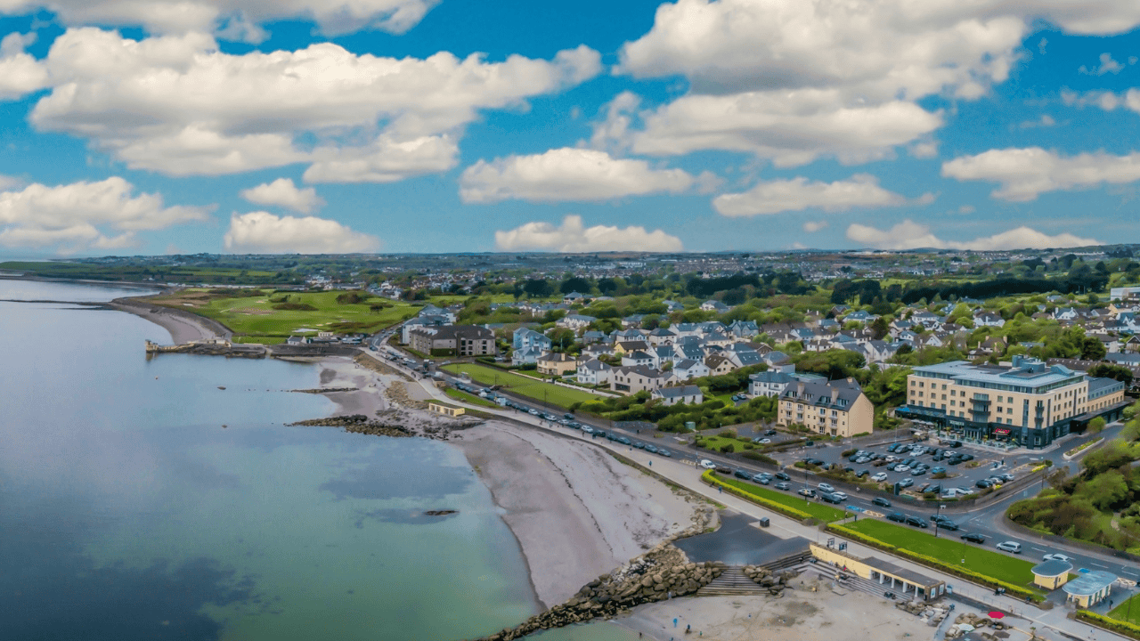
 Cahermore FortFairy fort / earthen ringfort · 426 yd
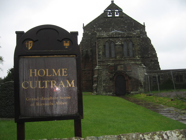
 Doonlaur FortFairy fort / earthen ringfort · 505 yd
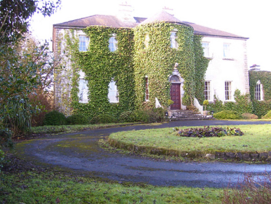
 AbbeytownHouse, 18th/19th century · 1069 yd
 Lisdonagh Househouse · 1728 yd
 Shrule Castle in ruinsCastle, hall-house · 1.4 mi
 Shrule CastleCastle · 1.4 mi
 Pesooge PlantationForest · 2.4 mi
 Cregg PlantationForest · 2.4 mi
 Ross Errilly FriaryHeritage attraction · 2.7 mi
 Kilcoona Round TowerHeritage attraction · 4.3 mi
 Walsh's IslandIslet · 5.8 mi
 Otter IslandIslet · 6.4 mi