What is recorded here
Fairy fort in Lissyconor, County Galway: a vanished circular enclosure about forty metres across, sitting in grassland above bogland on both sides. The western edge still bends the townland boundary, while the rest has surrendered to grass, memory and story. People may have lived there, or the land may have simply dreamed a circle into itself. Either way, the bog keeps the shape alive.
In grassland overlooking bogland to E and W. Marked on 1st ed. of OS 6-inch map as a roughly circular enclosure (D c. 40m), around W side of which the td. boundary loops. Apart from a vegetation band along E and S limits, no visible surface trace survives.
The above description is derived from the published 'Archaeological Inventory of County Galway Vol. II - North Galway'. Compiled by Olive Alcock, Kathy de hÓra and Paul Gosling (Dublin: Stationery Office, 1999).
Date of upload: 05 August 2010
The monument record does not grant public access. Check the route and ask the landowner before entering private land.
- What survives
- Recorded monument
Places near here
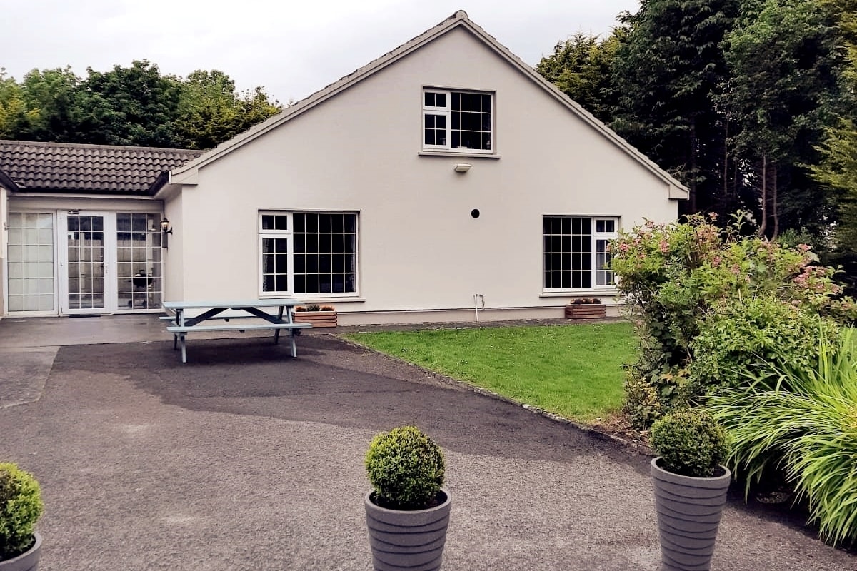 Enclosure in LissyconorEnclosure · 449 yd
 Quarry in CastleQuarry · 884 yd
 Castle in ruinsCastle, unclassified · 1576 yd
 Lacka Valeahaubar Br.Bridge · 1604 yd
 Crucamaohalle FortFairy fort / earthen ringfort · 1753 yd
 Slieve DartMountain / peak · 2.8 mi
 Dunmore CastleCastle · 3.5 mi
 Site of Killomaine Grave YardArchaeological place · 9.3 mi
 European ashEuropean ash · 11 mi
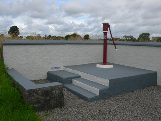 water pumpwater pump · 1673 yd
 Bellwell FortFairy fort / ringfort · 1.1 mi
 Man-made underground passage in BallintavaMan-made underground passage · 1.2 mi