What is recorded here
No visible mound or stone wall remains, only a faint shadow in the soil that aerial photography revealed. The circular mark measures about 35 metres across, with a larger rectangular shadow beside it, suggesting a dwelling and its working field rather than a grand fortress. That ordinary shape is what survival requires: a place to stand, a place to grow food, and a boundary clear enough to defend.
Aerial photographs (CUCAP BOC 71, BGN 45, BGN 49) show a cropmark of a fosse defining circular area (KD037-041001-) (diam. c. 35m). Cropmark of a fosse of large rectangular field (KD037-041002-) at the E (est. dims c. 40m N-S x 30m E-W). Probably a ringfort with an attached field.
Date of upload: 15 September 2016
The monument record does not grant public access. Check the route and ask the landowner before entering private land.
- What survives
- Recorded monument
Places near here
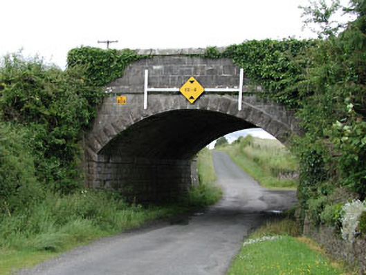 bridgebridge · 407 yd
 Enclosure in Levitstown (dunmanoge Ed)Enclosure · 561 yd
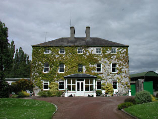 Levitstown Housefarm house · 974 yd
 Enclosure in Castleroe WestEnclosure · 1.1 mi
 CastleCastle, tower house · 1.1 mi
 Dollardstown WoodForest · 1.9 mi
 Castle in ruinsCastle, unclassified · 2.0 mi
 Lorcán Ó TuathailMemorial · 2.4 mi
 Mullaghreelan WoodForest · 2.6 mi
 ProclamationMemorial · 3.8 mi
 Franciscan FriaryHeritage attraction · 4.0 mi
 Castledermot Round TowerHeritage attraction · 4.1 mi