What is recorded here
Situated originally on level marshy terrain. Circular area (diam. c. 40m) largely ploughed out prior to the construction of the Blessington Reservoir which now covers the area. (O'Connor 1944, 53)
The above description is derived from the published 'Archaeological Inventory of County Wicklow' (Dublin: Stationery Office, 1997). In certain instances the entries have been revised and updated in the light of recent research.
Date of upload/revision: 17 December 2008
The monument record does not grant public access. Check the route and ask the landowner before entering private land.
- What survives
- Recorded monument
Places near here
 St. Boodins WellHoly well · 812 yd
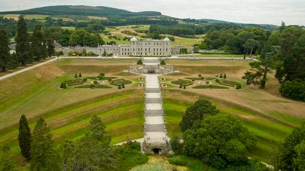 Enclosure in SroughanEnclosure · 1096 yd
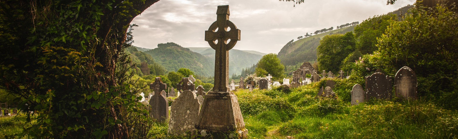 Templebodin Ch. (in Ruins)Church · 1684 yd
 Lacken – Mass Path LoopWalking route · 1.2 mi
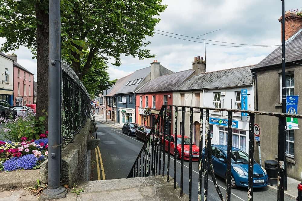 CastleCastle, unclassified · 1.2 mi
 Land Grabber MemorialRuins · 1.6 mi
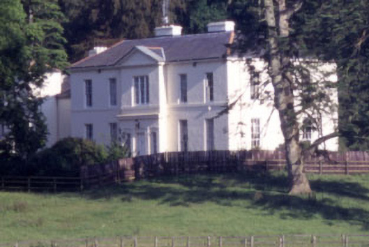 Baltyboys Housecountry house · 1.7 mi
 Castle (in ruins)Castle, tower house · 2.1 mi
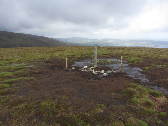 Black HillMountain / peak · 2.5 mi
 Sorrel HillMountain / peak · 2.7 mi
 Councillor Jim MileyMemorial · 2.8 mi
 Artisans WorkshopsHeritage attraction · 2.9 mi