What is recorded here
Situated on a slight rise in a gently rolling landscape with a NW-SE stream c. 100m to the SW. There is widespread local knowledge of a circular enclosure defined by a low earthen bank which was removed in 1985. It is not visible at ground level in pasture.
The above description is derived from the published 'Archaeological Inventory of County Wexford' (Dublin: Stationery Office, 1996). In certain instances the entries have been revised and updated in the light of recent research.
Compiled by: Michael Moore
Date of upload/revision: 20 August, 2013
The monument record does not grant public access. Check the route and ask the landowner before entering private land.
- What survives
- Recorded monument
Places near here
 WindmillRuins · 943 yd
 CastleRuins · 1258 yd
 Castle (in ruins)Castle, tower house · 1308 yd
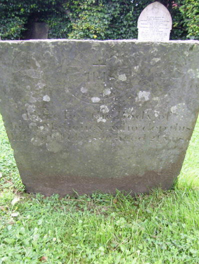 graveyard/cemeterygraveyard/cemetery · 1366 yd
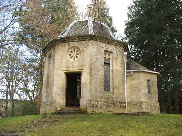 Site of R. C. ChapelChurch · 1.2 mi
 Enclosure in RalphtownEnclosure · 1.3 mi
 Cull IslandIsland · 2.8 mi
 Ballyteigue BurrowNature reserve · 3.6 mi
 Carrickatinna RockMountain / peak · 3.9 mi
 Skeater RockMountain / peak · 4.2 mi
 Cullenstown StrandBeach / strand · 4.6 mi
 Carrig-On-BannowVisitor information · 4.7 mi