What is recorded here
Knockballyvishteal held Concannon's Fort, a circular earthen ring over one hundred feet across on a glacial ridge. Neary found it half ravelled in 1914 because tillage operations had bitten into its scarps. The bogland flanking the grassland swallowed the rest, erasing the boundary between human making and fairy mystery.
On a glacial ridge in grassland, flanked by bogland to NE and S. Marked on 1st ed. of OS 6-inch map as a roughly circular enclosure (D c. 35m). Described by Neary (1914, 123, no. 148) as a 'circular, earthen, half ravelled fort … garth was over 100 ft. [30.5m]; scarp 6 ft [1.8m]' which had been encroached upon by 'tillage operations'; known locally as 'Concannon's Fort'. No visible surface trace survives.
The above description is derived from the published 'Archaeological Inventory of County Galway Vol. II - North Galway'. Compiled by Olive Alcock, Kathy de hÓra and Paul Gosling (Dublin: Stationery Office, 1999).
Date of upload: 05 August 2010
The monument record does not grant public access. Check the route and ask the landowner before entering private land.
- What survives
- Recorded monument
Places near here
 Enclosure in Grange (doonbally Ed)Enclosure · 1451 yd
 Enclosure in Kilcloony (clonmacnowen By.),quarrymountEnclosure · 1728 yd
 Site of Doonbally CastleCastle, unclassified · 1.0 mi
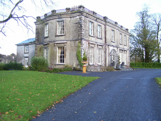 Quarrymount Househouse · 1.2 mi
 Bawn in Kilcloony (dunmore By.)Bawn · 1.3 mi
 Abbey in ruinsChurch · 2.0 mi
 European ashEuropean ash · 4.3 mi
 Mass RockNamed rock · 6.0 mi
 KnockmaaWood · 9.3 mi
 Cross in Kilcloony (dunmore By.)Cross · 1.0 mi
 Strawberry Hill FortArchaeological place · 1.1 mi
 Enclosure in KilnaslieveEnclosure · 1.1 mi