What is recorded here
Knockaunnagat holds a faded oval ringfort on a grassy hillock above northern bogland. Two banks and a ditch still mark the edge, though grass and time have swallowed most of the structure. A short dry stone wall leaves the south-western side, perhaps belonging to a lost annex or a house that stopped being built. The fort sits small and exposed, waiting for someone to remember why it was shaped rather than left open.
On the summit of a hillock in rolling grassland overlooking bogland to N. Very poorly preserved oval ringfort (N-S 50m, E-W 32:5m) defined by two banks and an intervening fosse. The inner bank is faced with stone and survives only at NE; elsewhere a scarp forms the enclosing element. The fosse and outer bank are present from NW through N to NE. A dry stone wall (L 16m) extends from the monument at SW; possibly the remains of an annexe.
The above description is derived from the published 'Archaeological Inventory of County Galway Vol. II - North Galway'. Compiled by Olive Alcock, Kathy de hÓra and Paul Gosling (Dublin: Stationery Office, 1999).
Date of upload: 05 August 2010
The monument record does not grant public access. Check the route and ask the landowner before entering private land.
- What survives
- Recorded monument
Places near here
 Cloonagh FortHilltop enclosure · 1186 yd
 Enclosure in CarrowculleenEnclosure · 1.2 mi
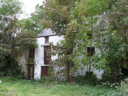 mill (water)mill (water) · 1.8 mi
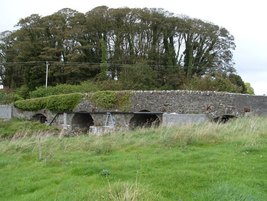 bridgebridge · 1.8 mi
 Dunmore CastleCastle · 1.8 mi
 Site of Doonbally CastleCastle, unclassified · 2.0 mi
 Slieve DartMountain / peak · 5.5 mi
 European ashEuropean ash · 6.3 mi
 Mass RockNamed rock · 8.1 mi
 KnockmaaWood · 11 mi
 Strawberry Hill FortArchaeological place · 1.3 mi
 Enclosure in KilnaslieveEnclosure · 1.4 mi