What is recorded here
Killoshulan held a broad oval fort on a steep east-facing slope, visible on early maps but now reduced to a faint difference in grass growth. The land rose sharply behind it and dropped away toward distant fields, suggesting people chose the spot for command rather than comfort. Whatever lived there has been erased by time or plough, leaving only a shallow shadow in the grass to mark the shape of a forgotten home.
On a steep E-facing slope of upland, in good rolling grassland. There are good views to the E and S, poor to the N and land rising steeply to the W. Indicated on the 1st (1839) ed. OS 6-inch sheet and 1900 revision as a slightly oval-shaped enclosure (diam. c. 33m N-S; c. 36m E-W). The monument has been levelled and is only visible at ground level as differential grass growth indicating the fosse.
Compiled by: Jean Farrelly
Date of upload: 7 February 2018
The monument record does not grant public access. Check the route and ask the landowner before entering private land.
- What survives
- Recorded monument
Places near here
 Enclosure in KilloshulanEnclosure · 355 yd
 Enclosure in Clomantagh (mountgarret)Enclosure · 903 yd
 TempleclashshibaunChurch · 1301 yd
 Killoshulan Castle (ruin)Castle · 1328 yd
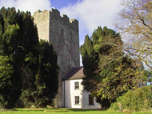 farm housefarm house · 1435 yd
 CastleCastle, tower house · 1466 yd
 Clomantagh HillMountain / peak · 1.0 mi
 John HelyMemorial · 3.0 mi
 Kildrinagh WoodForest · 3.1 mi
 DelaneyMemorial · 3.1 mi
 Street fieldArchaeological place · 3.6 mi
 Anker's IslandIsland · 7.4 mi