What is recorded here
Three banks and three ditches still circle the hill summit south of the stream, marking a well-preserved ringfort wide enough for thirty people to stretch across. Its southern causeway invites entry while a hidden northern passage suggests the fort kept more than one secret. People may have lived, hidden or worshipped there before the land forgot their names.
On a hill summit to S of a stream. Well-preserved roughly circular rath (D 31m) defined by an inner scarp, three banks and three intervening fosses. The outermost bank survives from S through W to N. Well-defined entrance causeway at SSW. There is a Man-made underground passage (GA060-102001-) within N sector of the interior. (Broderick 1882, 637)
The above description is derived from the published 'Archaeological Inventory of County Galway Vol. II - North Galway'. Compiled by Olive Alcock, Kathy de hÓra and Paul Gosling (Dublin: Stationery Office, 1999).
Date of upload: 05 August 2010
The monument record does not grant public access. Check the route and ask the landowner before entering private land.
- What survives
- Recorded monument
Places near here
 IndicatedEnclosure · 220 yd
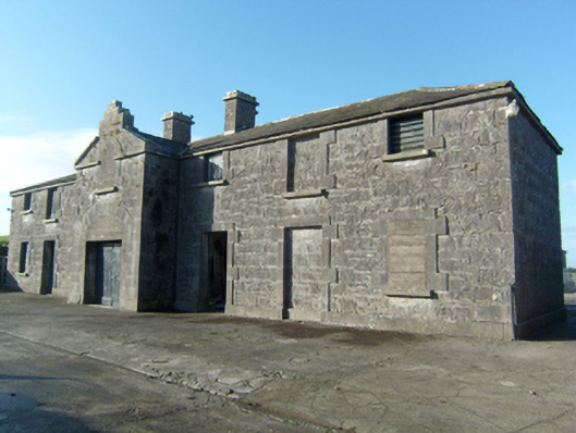 Greenville Housestables · 231 yd
 ToberanaltoirHoly well · 564 yd
 Quarry in CaltraQuarry · 1735 yd
 Castle (Site of)Castle, unclassified · 1.1 mi
 Mountbellew ForestForest · 2.2 mi
 Castle (in ruins)Castle, unclassified · 2.4 mi
 Wych ElmWych Elm · 2.6 mi
 Ballinlass Eviction MemorialMemorial · 3.4 mi
 Menlough IRAMemorial · 4.9 mi
 Kilconnell AbbeyHeritage attraction · 8.3 mi
 Mount MaryMountain / peak · 8.9 mi