What is recorded here
Fairy fort in Grange is a levelled ringfort on a low ridge amid tillage fields, marked as a circular enclosure about thirty metres across on the 1837 map. It may have held a house at its centre, while people later called it a fairy fort because such rounded places often sound like belonging elsewhere. Feltrim Hill stands directly west, watching the small fort remain half-hidden in ordinary farmland.
Situated on a low ridge in low-lying arable land. Named 'fort' on the 1837 OS 6-inch map and shown as a univallate circular enclosure (diam. c. 30m) with a central feature which may have been a house site. This is probably a levelled ringfort. Located at the apex of ridge in the midst of tillage fields. At time of visit it was recently ploughed and a stony area with occasional large stones was visible. Directly west is Feltrim Hill.
Compiled by: Geraldine Stout
Updated by: Christine Baker
Date of upload: 24 January 2015
The monument record does not grant public access. Check the route and ask the landowner before entering private land.
- What survives
- Recorded monument
Places near here
 Enclosure in Broomfield (coolock By.)Enclosure · 534 yd
 Field system in KinsaleyField system · 647 yd
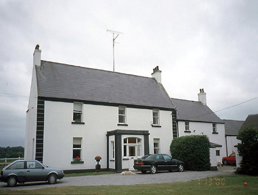 Kinsealy Hallfarm house · 870 yd
 MoatCastle, motte and bailey · 999 yd
 Black WoodWood · 1026 yd
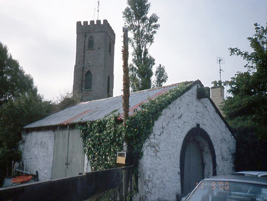 forge/smithyforge/smithy · 1081 yd
 Malahide DemesneVisitor information · 1536 yd
 Malahide Castle Demesne Church (Ruin)Ruins · 1720 yd
 Strand Mill RuinsRuins · 1.1 mi
 Casino Model Railway MuseumMuseum · 1.3 mi
 Malahide BeachBeach / strand · 1.4 mi
 Welcome To MalahideVisitor information · 1.4 mi