What is recorded here
Two shallow pits now mar the northern half of a sixty-five metre ring, yet the southern bank still rises to mark the shape. The fort stands on a grassy ridge above Clonmacnowen Bay, waiting for rain or memory to reveal what the fields concealed. It is not gone, only interrupted, and the interrupted place often returns more angry than the whole one.
On a rise in undulating grassland. Marked on 1st ed. of OS 6-inch map as a large circular enclosure (D c. 65m) cut by a field boundary at W and N. Two silage pits now occupy N half of the monument. Apart from two lengths of irregular earthen banks to S of the pits, no visible surface trace survives.
The above description is derived from the published 'Archaeological Inventory of County Galway Vol. II - North Galway'. Compiled by Olive Alcock, Kathy de hÓra and Paul Gosling (Dublin: Stationery Office, 1999).
Date of upload: 05 August 2010
The monument record does not grant public access. Check the route and ask the landowner before entering private land.
- What survives
- Recorded monument
Places near here
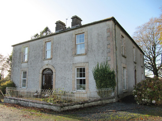 Cartron Househouse · 845 yd
 Enclosure in Cartron (clonmacnowen By.)Enclosure · 1023 yd
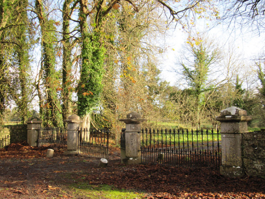 Liskelly Housedemesne walls/gates/railings · 1226 yd
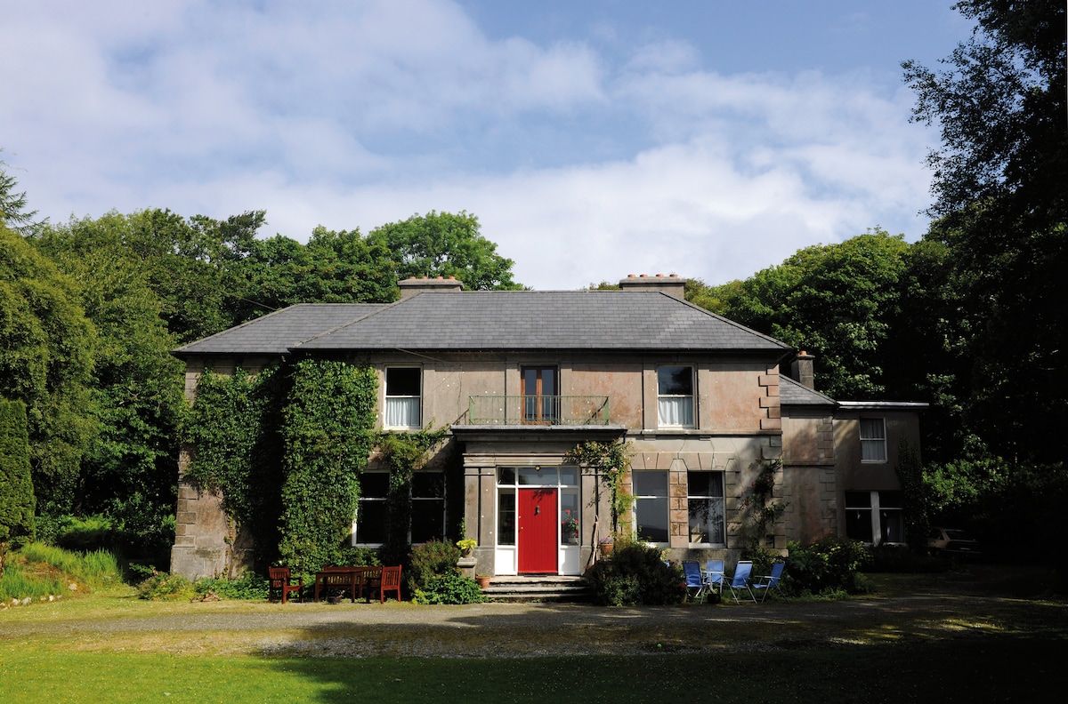 Enclosure in DoocreggaunEnclosure · 1.0 mi
 Bawn in Cooltymurraghy (clonmacnowen By.)Bawn · 1.2 mi
 Park CastleCastle, hall-house · 1.2 mi
 The bloody HollowHeritage attraction · 1.6 mi
 Battle of AughrimMajor battlefield · 1.7 mi
 Battle of Aughrim Interpretative CentreMuseum · 2.3 mi
 Urraghry HillMountain / peak · 2.3 mi
 European BeechEuropean Beech · 2.9 mi
 European YewEuropean Yew · 3.0 mi