What is recorded here
Situated on high ground with good views to the N, ringfort possible (WM033-058----) located 10m to the SE. No surface remains visible of this levelled monument which is depicted as a circular enclosure (diam. c. 30m N-S; 30m E-W) on all editions of the OS 6-inch maps. Depicted as a circular enclosure on the OS fair plan map where it is annotated as a 'fort' (SMR File). Cropmark of possible ringfort visible on 2005 OSI aerial photograph. Clearly visible cropmark of possible ringfort visible on bing aerial maps.
Compiled by: Caimin O'Brien
Date of upload: 08 July 2013
The monument record does not grant public access. Check the route and ask the landowner before entering private land.
- What survives
- Recorded monument
Places near here
 Fairy fort / ringfort in GneevebaneFairy fort / ringfort · 81 yd
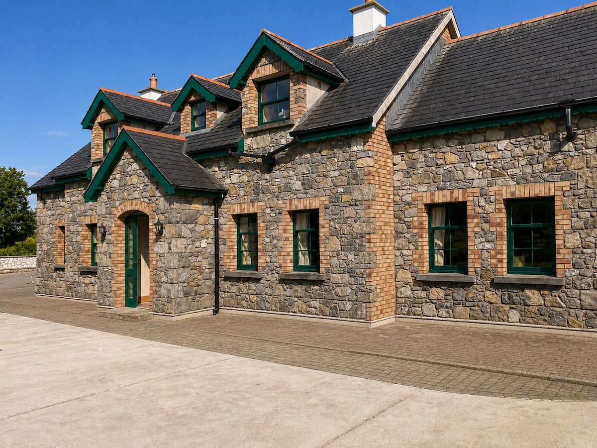 Partially HachuredFairy fort / earthen ringfort · 534 yd
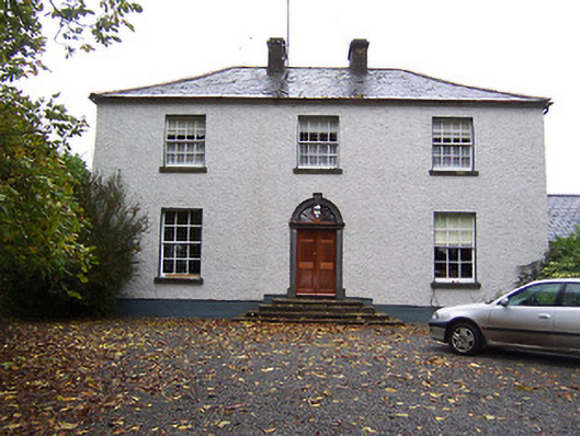 Far View Househouse · 1543 yd
 CastleCastle, hall-house · 1634 yd
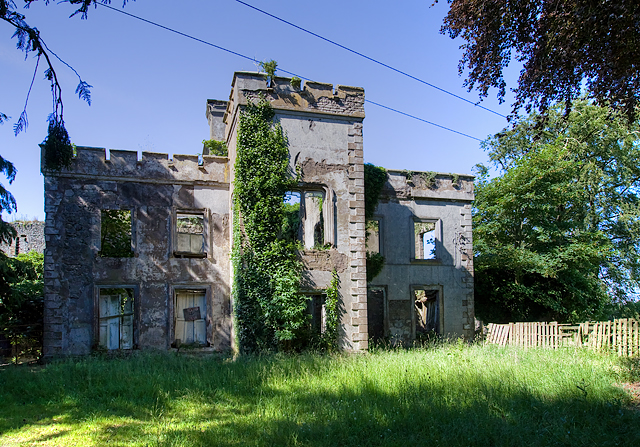 Newcastle Househouse · 1643 yd
 Castlelost MoatCastle, motte and bailey · 1.4 mi
 Derrygreenagh HillMountain / peak · 3.7 mi
 Croghan HillMountain / peak · 4.7 mi
 Knockdrin HillMountain / peak · 4.8 mi
 Finnrenashark Holy WellSpring · 4.9 mi
 Ardan WoodWood · 5.0 mi
 Croghan Hill WalkVisitor information · 5.0 mi