What is recorded here
No fairy touched the steep north-facing slope where a fifty-metre ringfort stood before the M50 cut through it. People lived there, judging by the piles of sheep, pig and horse bones cast into the ditch, though they entered uphill rather than descending into shadow. The fort resisted easy belief because ordinary butchery and a wooden revetment crowded the place, leaving no clean gap for magic to enter.
Archaeological excavations were undertaken between 2000 and 2002 on a ringfort and field system identified during work on the South-Eastern Motorway (M50) (Seaver 2004, 160-16). The ringfort was located on a steep N-facing slope. The site comprises a circular enclosure (diam. c. 50m) defined by a single ditch (Wth 1.7m, D 0.9m) and earth and stone bank. The entrance is on the uphill side in the SE. The ditch produced considerable quantities of butchered bones of sheep, pig, horse, goat and dog. Artifacts included bone trial pieces, small quantities of slag, a stone pounder and part of a ring pin. There was evidence for a wooden revetment along the inside of the bank.
Compiled by: Geraldine Stout and Padraig Clancy.
Revised upload on: 26 May 2018.
The monument record does not grant public access. Check the route and ask the landowner before entering private land.
- What survives
- Recorded monument
Places near here
 Field system in LaughanstownField system · 165 yd
 CairnCairn, ring-cairn · 189 yd
 Church (in Ruins)Church · 600 yd
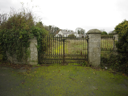 Lehaunstown Parkfarm house · 611 yd
 Puck's CastleCastle · 1443 yd
 Bawn in RathmichaelBawn · 1465 yd
 Loughlinstown WoodsNature reserve · 1549 yd
 Rathmichael WalkWalking route · 1581 yd
 Michael DavittMemorial · 1.2 mi
 Dingle GlenNature reserve · 1.3 mi
 Proclamation of the Irish RepublicMemorial · 1.3 mi
 Cabinteely ParkVisitor information · 1.4 mi