What is recorded here
No visible wall or ditch remains in Garryellen, only a hidden ring waiting beneath grass and memory. The landowner called it a fort site where bushes had been cleared, yet even that certainty faded when officials walked the pasture and found nothing but level ground. What disappeared may have been a home, a boundary marker, or a child's fantasy repeated until it became fact. The earth keeps its secrets patiently, offering up neither praise nor contradiction, only silence deep enough to drown ordinary doubt.
In low-lying level pasture 120m E of townland boundary with Rockfield. Enclosure (LI022-230---) located 120m to NE. Not depicted on any OS maps. According to the local landowner this are a was known as the 'Site of a fort' where bushes had been cleared in the recent past (SMR File 15/09/000). Visited by the ASI in 2000 and described as no surface remains visible. Faint outline of monument visible on Google Earth orthoimage taken 25/03/2017.
Compiled by: Martin Fitzpatrick
Date of upload: 7 August 2020
The monument record does not grant public access. Check the route and ask the landowner before entering private land.
- What survives
- Recorded monument
Places near here
 (Site of) Garryellen CastleCastle, unclassified · 427 yd
 Dotted outlineBawn · 458 yd
 Villiers WellSpring · 749 yd
 BarrowBarrow, ring-barrow · 753 yd
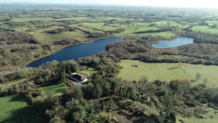 Enclosure in BadgerfortEnclosure · 822 yd
 RoadRoad, road/trackway · 1702 yd
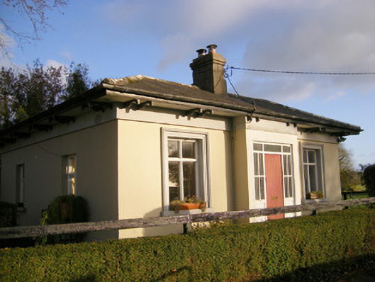 Kilpeacon Housegate lodge · 1.2 mi
 Carnane RockNamed rock · 1.3 mi
 European ashEuropean ash · 2.7 mi
 Monasteranenagh AbbeyHeritage attraction · 3.7 mi
 Biodiversity in the Maigue CatchmentVisitor information · 5.0 mi
 Dysert AenghusaHeritage attraction · 5.9 mi