What is recorded here
Mortons and others may have watched herds, waited for lovers or simply enjoyed the clear air. The trees returned the land to themselves after human tools stopped shaping it. Memory and myth both need that much as possible. What is recorded is a circular fort near Fanningstown, not a warning about everyone who admired it.
In mature woodland on high ground with good views in all directions. The enclosure is located 225m W of the townland boundary with Rathbranagh and 210m S of the townland boundary with Garranroe. The ringfort known as ‘Lisnasprunane’ (LI021-058----) lies 200m to NE. The site is depicted as a circular fort (ext. diam. c. 60m) on the 1840 ed. OSi 6-inch map within the ‘Old Deer Park’ 950m E of Fanningstown Castle (LI021-047----) on rough ground. The site is not depicted on the 1897 ed. OSi 25-inch map, but the map does depict an OSi trigonometrical station on the summit of the hillock at the centre point of the enclosure. Inspected by the ASI in 2000 when no definitive enclosing elements could be located. The site is not visible on Google Earth orthoimages taken 28/06/2018 and 14/02/2020.
Compiled by: Edmond O’Donovan
Date of upload: 11 August 2020
The monument record does not grant public access. Check the route and ask the landowner before entering private land.
- What survives
- Recorded monument
Places near here
 OutlinedEnclosure · 636 yd
 Site of Old GraveyardChildren's burial ground · 637 yd
 Fanningstown Castle (in ruins)Castle, tower house · 1081 yd
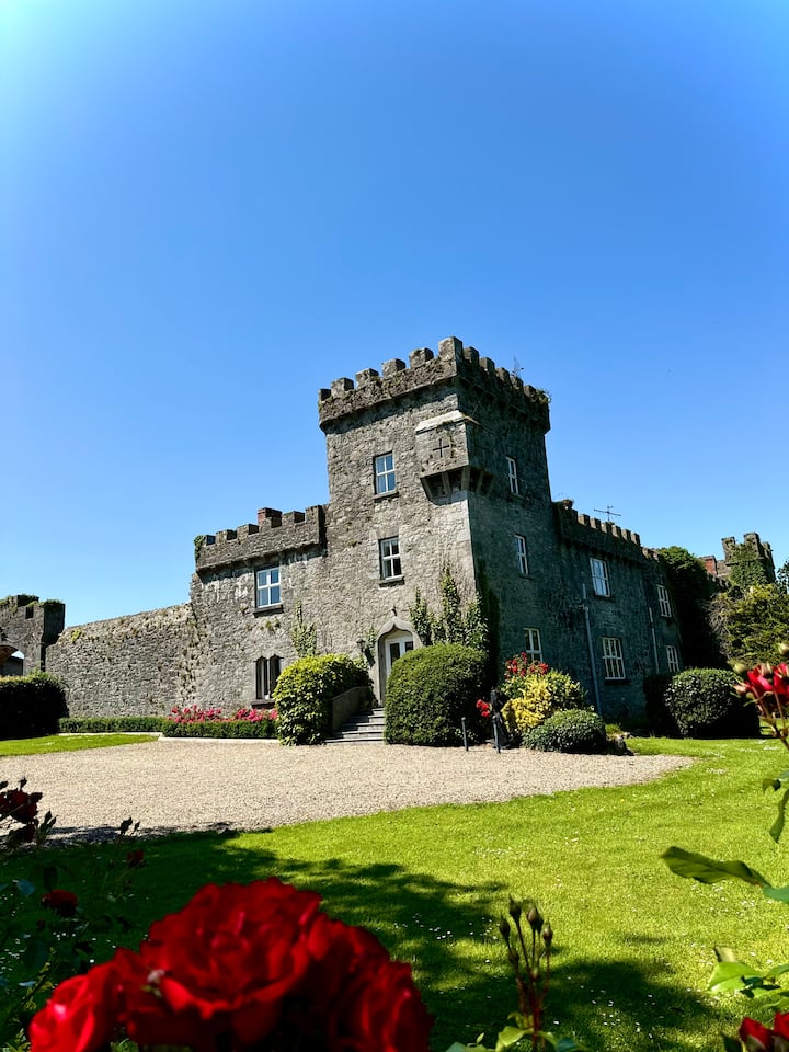
 Fanningstown Castlecountry house, castle/fortified house · 1085 yd
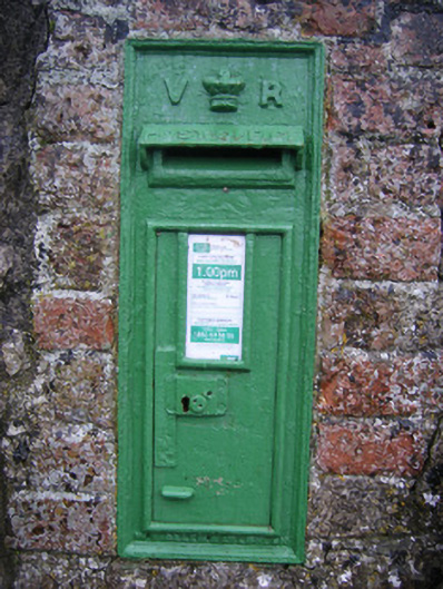 post boxpost box · 1476 yd
 Ballinveala Castle (in ruins)Castle, tower house · 1.6 mi
 Biodiversity in the Maigue CatchmentVisitor information · 2.0 mi
 Dysert AenghusaHeritage attraction · 2.1 mi
 GinkgoGinkgo · 2.5 mi
 European YewEuropean Yew · 2.5 mi
 Monasteranenagh AbbeyHeritage attraction · 3.4 mi
 Kinnoor WellSpring · 3.7 mi